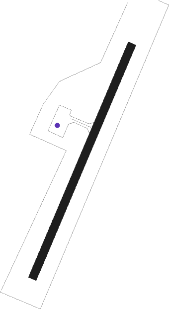
Lourdes-de-blanc-sablon
Airport details
| Country | Canada |
| State | Quebec |
| Region | CY |
| Airspace | Montreal Ctr |
| Municipality | Blanc-Sablon |
| Elevation | 122ft (37m) |
| Timezone | GMT -4 |
| Coordinates | 51.44205, -57.18612 |
| Magnetic var | |
| Type | land |
| Available since | X-Plane v10.40 |
| ICAO code | CYBX |
| IATA code | YBX |
| FAA code | n/a |
Communication
| Lourdes-de-Blanc-Sablon Mont-Jolie rdo | 122.150 |
Approach frequencies
| LOC | RW05 | 109.1 | 18.00mi |
Nearby beacons
| code | identifier | dist | bearing | frequency |
|---|---|---|---|---|
| BX | BLANC-SABLON NDB | 1.3 | 219° | 220 |
Instrument approach procedures
| runway | airway (heading) | route (dist, bearing) |
|---|---|---|
| RW05 | EMGUR (64°) | EMGUR XEXAT (5mi, 108°) 2000ft |
| RW05 | IRDUB (4°) | IRDUB XEXAT (5mi, 288°) 2000ft |
| RNAV | XEXAT 2000ft VOGUM (6mi, 40°) 1500ft CYBX (5mi, 40°) 129ft OTAVO (5mi, 40°) 2900ft OTAVO (turn) | |
| RW23 | APGAV (243°) | APGAV LITSA (5mi, 288°) 2400ft |
| RW23 | OMPIR (187°) | OMPIR LITSA (5mi, 108°) 2400ft |
| RNAV | LITSA 2400ft EPSEM (6mi, 220°) 2000ft KESKU (2mi, 220°) 1360ft XOTOD (1mi, 220°) 910ft CYBX (2mi, 220°) 172ft VIVUK (5mi, 220°) 2900ft VIVUK (turn) |
Disclaimer
The information on this website is not for real aviation. Use this data with the X-Plane flight simulator only! Data taken with kind consent from X-Plane 12 source code and data files. Content is subject to change without notice.
