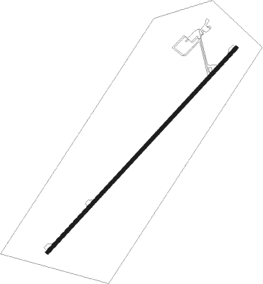
Chatham-kent - Chatham Kent
Airport details
| Country | Canada |
| State | Ontario |
| Region | CY |
| Airspace | Cleveland Ctr |
| Municipality | Chatham |
| Elevation | 647ft (197m) |
| Timezone | GMT -5 |
| Coordinates | 42.30623, -82.08175 |
| Magnetic var | |
| Type | land |
| Available since | X-Plane v10.45 |
| ICAO code | CYCK |
| IATA code | XCM |
| FAA code | n/a |
Communication
| Chatham Kent CTAF/UNICOM | 123.200 |
Nearby beacons
| code | identifier | dist | bearing | frequency |
|---|---|---|---|---|
| QG | WINDSOR NDB | 34.9 | 270° | 353 |
| MTC | SELFRIDGE (MOUNT CLEMENS) TACAN | 37.9 | 292° | 133.70 |
| PH | PHURN (PORT HURON) NDB | 39.4 | 316° | 332 |
| LQL | LAKELAND (WILLOUGHBY) NDB | 48.8 | 132° | 263 |
| BF | TABEY (CLEVELAND) NDB | 49.7 | 145° | 248 |
| DJB | DRYER VOR/DME | 57 | 185° | 113.60 |
| PCW | PORT CLINTON NDB | 58.9 | 225° | 423 |
| YXU | LONDON VOR/DME | 60.2 | 52° | 117.20 |
| CXR | CHARDON VOR/DME | 62.7 | 131° | 112.70 |
| ECK | PECK TACAN | 63.5 | 326° | 114 |
Instrument approach procedures
| runway | airway (heading) | route (dist, bearing) |
|---|---|---|
| RW06-Y | PEMDO (82°) | PEMDO IGRUM (6mi, 129°) 2200ft |
| RW06-Y | SAXOG (20°) | SAXOG IGRUM (6mi, 309°) 2100ft |
| RNAV | IGRUM 2100ft ALSOS (5mi, 56°) 2000ft CYCK (4mi, 56°) 693ft EBMUR (9mi, 56°) 2400ft EBMUR (turn) | |
| RW06-Z | EBDEN (77°) | EBDEN IKLUR (5mi, 129°) 2200ft |
| RW06-Z | OMVID (28°) | OMVID IKLUR (5mi, 309°) 2100ft |
| RNAV | IKLUR 2100ft AVSEL (6mi, 55°) 1700ft MUSVO (2mi, 56°) 1300ft MIXIV (2mi, 56°) 724ft XEVAX (9mi, 56°) 2700ft XEVAX (turn) 2700ft | |
| RW24-Y | SINVI (263°) | SINVI NOREG (6mi, 309°) 2200ft |
| RW24-Y | URTUL (199°) | URTUL NOREG (6mi, 129°) 2200ft |
| RNAV | NOREG 2200ft DANAB (5mi, 236°) 2000ft CYCK (4mi, 236°) 695ft XEPUX (9mi, 236°) 2400ft XEPUX (turn) | |
| RW24-Z | RABOV (208°) | RABOV OTSAR (5mi, 129°) 2200ft |
| RW24-Z | UDKEL (257°) | UDKEL OTSAR (5mi, 309°) 2200ft |
| RNAV | OTSAR 2200ft TOBOX (6mi, 236°) 1970ft EBGAR (2mi, 236°) 1460ft ALERO (2mi, 236°) 855ft XEPUX (9mi, 236°) 2400ft XEPUX (turn) 2400ft |
Disclaimer
The information on this website is not for real aviation. Use this data with the X-Plane flight simulator only! Data taken with kind consent from X-Plane 12 source code and data files. Content is subject to change without notice.
