Manitowaning - Manitowaning East Muni
Airport details
| Country | Canada |
| State | Ontario |
| Region | CY |
| Airspace | Toronto Ctr |
| Municipality | Assiginack Township |
| Elevation | 870ft (265m) |
| Timezone | GMT -5 |
| Coordinates | 45.84247, -81.85757 |
| Magnetic var | |
| Type | land |
| Available since | X-Plane v10.40 |
| ICAO code | CYEM |
| IATA code | YEM |
| FAA code | n/a |
Communication
| Manitowaning East Muni CTAF/UNICOM | 122.800 |
Runway info
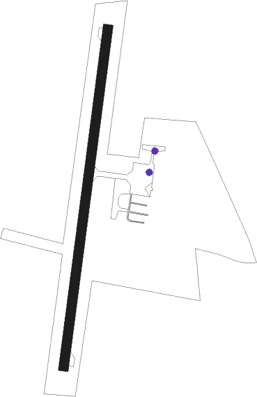
| Runway 02 / 20 | ||
| length | 1069m (3507ft) | |
| bearing | 17° / 197° | |
| width | 30m (100ft) | |
| surface | asphalt | |
Nearby beacons
| code | identifier | dist | bearing | frequency |
|---|---|---|---|---|
| YEL | ELLIOT LAKE NDB | 45.1 | 304° | 276 |
| SB | SUDBURY NDB | 62 | 49° | 362 |
Instrument approach procedures
| runway | airway (heading) | route (dist, bearing) |
|---|---|---|
| RW02 | ETLOG (50°) | ETLOG XIKOT (5mi, 98°) 2300ft |
| RW02 | GUDOX (338°) | GUDOX XIKOT (5mi, 279°) 2300ft |
| RNAV | XIKOT 2300ft DAXOR (5mi, 17°) 2200ft CYEM (4mi, 17°) 901ft XESIP (8mi, 17°) 2900ft XESIP (turn) | |
| RW20 | KIXIB (157°) | KIXIB BOPOM (5mi, 98°) 2300ft |
| RW20 | RERUK (231°) | RERUK BOPOM (5mi, 279°) 2300ft |
| RNAV | BOPOM 2300ft IGVOG (5mi, 197°) 2200ft CYEM (4mi, 197°) 920ft PEMPI (5mi, 197°) 2900ft PEMPI (turn) |
Disclaimer
The information on this website is not for real aviation. Use this data with the X-Plane flight simulator only! Data taken with kind consent from X-Plane 12 source code and data files. Content is subject to change without notice.