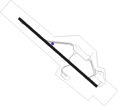
Iqaluit
Airport details
| Country | Canada |
| State | Nunavut |
| Region | CY |
| Airspace | Montreal Ctr |
| Municipality | Iqaluit |
| Elevation | 109ft (33m) |
| Timezone | GMT -5 |
| Coordinates | 63.75657, -68.55612 |
| Magnetic var | |
| Type | land |
| Available since | X-Plane v10.40 |
| ICAO code | CYFB |
| IATA code | YFB |
| FAA code | n/a |
Communication
| Iqaluit FSS | 126.700 |
| Iqaluit Iqaluit Radio | 122.200 |
| Iqaluit Montreal Center | 134.550 |
Approach frequencies
| ILS-cat-I | RW34 | 109.9 | 18.00mi |
| 3° GS | RW34 | 109.9 | 18.00mi |
Nearby beacons
| code | identifier | dist | bearing | frequency |
|---|---|---|---|---|
| YFY | FROBAY (IQALUIT) NDB | 1.4 | 160° | 204 |
| YFB | FROBAY (IQALUIT) VOR | 2.3 | 100° | 117.40 |
Departure and arrival routes
| Transition altitude | 18000ft |
| Transition level | 18000ft |
| SID end points | distance | outbound heading | |
|---|---|---|---|
| RW16 | |||
| CYFB5 | 178mi | 246° | |
| RW34 | |||
| CYFB5 | 178mi | 246° | |
Instrument approach procedures
| runway | airway (heading) | route (dist, bearing) |
|---|---|---|
| RW16 | CIRCK (99°) | CIRCK XUDPA (5mi, 67°) 2300ft |
| RW16 | GLASE (114°) | GLASE XUDPA (7mi, 114°) 2300ft |
| RW16 | USBIV (141°) | USBIV XUDPA (5mi, 247°) 2300ft |
| RNAV | XUDPA 2300ft ATHAB (6mi, 114°) 1500ft CYFB (5mi, 114°) 160ft KIXON (1mi, 114°) FORJE (8mi, 114°) 3600ft FORJE (turn) | |
| RW34 | DEPMO (322°) | DEPMO IPTOV (5mi, 67°) 1900ft |
| RW34 | OMTID (280°) | OMTID IPTOV (5mi, 247°) 1900ft |
| RNAV | IPTOV 1900ft EPROK (6mi, 294°) 1400ft CYFB (5mi, 294°) 121ft UMANI (4mi, 294°) 2500ft UMANI (turn) |
Disclaimer
The information on this website is not for real aviation. Use this data with the X-Plane flight simulator only! Data taken with kind consent from X-Plane 12 source code and data files. Content is subject to change without notice.
