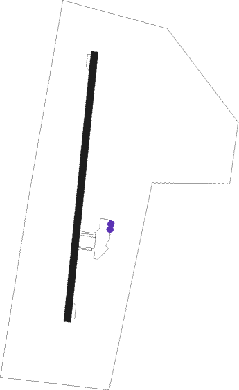
Rivière Rouge - Mont Tremblant Intl Inc
Airport details
| Country | Canada |
| State | Quebec |
| Region | CY |
| Airspace | Montreal Ctr |
| Municipality | La Macaza |
| Elevation | 827ft (252m) |
| Timezone | GMT -5 |
| Coordinates | 46.40908, -74.78008 |
| Magnetic var | |
| Type | land |
| Available since | X-Plane v10.40 |
| ICAO code | CYFJ |
| IATA code | YTM |
| FAA code | n/a |
Communication
| Mont Tremblant Intl Inc CTAF/UNICOM | 122.700 |
Nearby beacons
| code | identifier | dist | bearing | frequency |
|---|---|---|---|---|
| 2Q | MONT-LAURIER NDB | 30.8 | 286° | 373 |
| ZMM | JOLY (MONTREAL) NDB | 50.2 | 141° | 266 |
| ZMX | JANVIER (MONTREAL) NDB | 53.7 | 128° | 317 |
| ZMR | HERMAS (MONTREAL) NDB | 55.2 | 139° | 272 |
| YUL | MONTREAL VOR/DME | 58.3 | 134° | 116.30 |
Instrument approach procedures
| runway | airway (heading) | route (dist, bearing) |
|---|---|---|
| RW02 | EMBUL (45°) | EMBUL PENDA (5mi, 97°) 2800ft |
| RW02 | VETGO (341°) | VETGO PENDA (5mi, 277°) 2800ft |
| RNAV | PENDA 2800ft IKBAS (6mi, 15°) 2400ft ALPUL (3mi, 15°) 1560ft CYFJ (3mi, 15°) 862ft GUDAN (10mi, 15°) 3700ft GUDAN (turn) 3700ft | |
| RW20 | APKIP (225°) | APKIP VEVLU (5mi, 277°) 3600ft |
| RW20 | DEBEB (160°) | DEBEB VEVLU (5mi, 97°) 3600ft |
| RNAV | VEVLU 3600ft MEVRI (5mi, 195°) 2700ft CYFJ (6mi, 195°) 875ft MUPDO (5mi, 195°) 3400ft MUPDO (turn) 3400ft |
Disclaimer
The information on this website is not for real aviation. Use this data with the X-Plane flight simulator only! Data taken with kind consent from X-Plane 12 source code and data files. Content is subject to change without notice.
