Havre St-pierre
Airport details
| Country | Canada |
| State | Quebec |
| Region | CY |
| Airspace | Montreal Ctr |
| Municipality | Havre-Saint-Pierre |
| Elevation | 124ft (38m) |
| Timezone | GMT -5 |
| Coordinates | 50.28318, -63.60331 |
| Magnetic var | |
| Type | land |
| Available since | X-Plane v10.40 |
| ICAO code | CYGV |
| IATA code | YGV |
| FAA code | n/a |
Communication
| Havre St-Pierre AWOS Eng. | 125.950 |
| Havre St-Pierre AWOS Fr. | 128.300 |
| Havre St-Pierre Radio Madeleine | 122.000 |
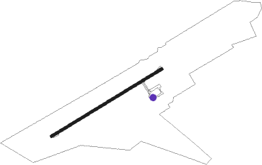
Runway info
| Runway 08 / 26 | ||
| length | 1371m (4498ft) | |
| bearing | 72° / 252° | |
| width | 30m (100ft) | |
| surface | asphalt | |
Nearby beacons
| code | identifier | dist | bearing | frequency |
|---|---|---|---|---|
| PN | PORT MENIER NDB | 40.3 | 240° | 360 |
Instrument approach procedures
| runway | airway (heading) | route (dist, bearing) |
|---|---|---|
| RW08 | KAVLI (52°) | KAVLI VOGAV (5mi, 322°) 1600ft |
| RW08 | MIRUX (88°) | MIRUX VOGAV (5mi, 141°) 1600ft |
| RNAV | VOGAV 1600ft EMBEP (6mi, 72°) 1600ft CYGV (5mi, 73°) 160ft SIBSO (4mi, 71°) 1700ft SIBSO (turn) | |
| RW26 | AGMUN (269°) | AGMUN OTSAB (5mi, 322°) 1800ft |
| RW26 | ITPEV (230°) | ITPEV OTSAB (5mi, 142°) 1800ft |
| RNAV | OTSAB 1800ft MIDGI (6mi, 252°) 1600ft CYGV (5mi, 251°) 175ft UKMOR (5mi, 253°) 1700ft UKMOR (turn) |
Disclaimer
The information on this website is not for real aviation. Use this data with the X-Plane flight simulator only! Data taken with kind consent from X-Plane 12 source code and data files. Content is subject to change without notice.