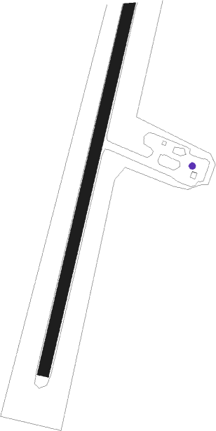
Kuujjuarapik
Airport details
| Country | Canada |
| State | Quebec |
| Region | CY |
| Airspace | Montreal Ctr |
| Municipality | Kuujjuarapik (Village) |
| Elevation | 40ft (12m) |
| Timezone | GMT -5 |
| Coordinates | 55.28203, -77.76526 |
| Magnetic var | |
| Type | land |
| Available since | X-Plane v10.40 |
| ICAO code | CYGW |
| IATA code | YGW |
| FAA code | n/a |
Communication
| Kuujjuarapik AWOS (En) | 124.350 |
| Kuujjuarapik AWOS (Fr) | 125.150 |
| Kuujjuarapik RADIO La Grande | 122.200 |
Nearby beacons
| code | identifier | dist | bearing | frequency |
|---|---|---|---|---|
| GW | JARPIK (KUUJJUARAPIK) NDB | 0.4 | 80° | 371 |
Instrument approach procedures
| runway | airway (heading) | route (dist, bearing) |
|---|---|---|
| RW03 | PERBO (347°) | PERBO VIBNO (5mi, 280°) 1800ft |
| RW03 | PETGA (58°) | PETGA VIBNO (5mi, 100°) 1800ft |
| RNAV | VIBNO 1800ft KENRA (6mi, 29°) 1400ft PESTU (2mi, 29°) 900ft CYGW (3mi, 29°) 89ft SATAP (10mi, 29°) 2200ft SATAP (turn) | |
| RW21 | LOSBI (167°) | LOSBI KIVOL (5mi, 100°) 1500ft |
| RW21 | MOBIM (239°) | MOBIM KIVOL (5mi, 280°) 1500ft |
| RNAV | KIVOL 1500ft ITKOK (6mi, 209°) 1400ft CYGW (5mi, 209°) 83ft TOTAR (10mi, 209°) 2200ft TOTAR (turn) |
Disclaimer
The information on this website is not for real aviation. Use this data with the X-Plane flight simulator only! Data taken with kind consent from X-Plane 12 source code and data files. Content is subject to change without notice.
