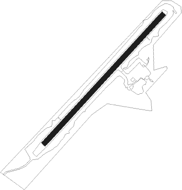
Gillam
Airport details
| Country | Canada |
| State | Manitoba |
| Region | CY |
| Airspace | Winnipeg Ctr |
| Municipality | Gillam |
| Elevation | 476ft (145m) |
| Timezone | GMT -6 |
| Coordinates | 56.35772, -94.71070 |
| Magnetic var | |
| Type | land |
| Available since | X-Plane v10.40 |
| ICAO code | CYGX |
| IATA code | YGX |
| FAA code | n/a |
Communication
| Gillam MF | 122.100 |
Nearby beacons
| code | identifier | dist | bearing | frequency |
|---|---|---|---|---|
| GX | DME | 0.2 | 94° | 114.40 |
| YGX | GILLAM NDB | 0.4 | 113° | 212 |
Instrument approach procedures
| runway | airway (heading) | route (dist, bearing) |
|---|---|---|
| RW05 | ODBEM (80°) | ODBEM RIDUB (5mi, 121°) 1800ft |
| RW05 | PELVO (35°) | PELVO RIDUB (5mi, 301°) 1800ft |
| RNAV | RIDUB 1800ft SATUK (6mi, 63°) 1800ft CYGX (4mi, 63°) 526ft UDNOK (5mi, 63°) 2300ft UDNOK (turn) | |
| RW23 | SEGEK (215°) | SEGEK UDNUV (5mi, 121°) 1800ft |
| RW23 | VEVRO (260°) | VEVRO UDNUV (5mi, 301°) 1800ft |
| RNAV | UDNUV 1800ft UKORU (6mi, 243°) 1800ft CYGX (4mi, 243°) 524ft AGLEM (5mi, 243°) 2300ft AGLEM (turn) |
Disclaimer
The information on this website is not for real aviation. Use this data with the X-Plane flight simulator only! Data taken with kind consent from X-Plane 12 source code and data files. Content is subject to change without notice.