Chevery
Airport details
| Country | Canada |
| State | Quebec |
| Region | CY |
| Airspace | Montreal Ctr |
| Municipality | Côte-Nord-du-Golfe-du-Saint-Laurent |
| Elevation | 39ft (12m) |
| Timezone | GMT -4 |
| Coordinates | 50.46898, -59.63668 |
| Magnetic var | |
| Type | land |
| Available since | X-Plane v10.40 |
| ICAO code | CYHR |
| IATA code | YHR |
| FAA code | n/a |
Communication
| Chevery AWOS | 122.550 |
| Chevery CTAF | 123.500 |
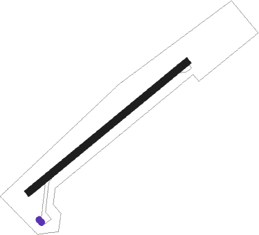
Runway info
| Runway 07 / 25 | ||
| length | 1373m (4505ft) | |
| bearing | 66° / 246° | |
| width | 46m (150ft) | |
| surface | asphalt | |
Nearby beacons
| code | identifier | dist | bearing | frequency |
|---|---|---|---|---|
| YHR | CHEVERY NDB | 0.2 | 149° | 276 |
| YIF | ST-AUGUSTIN NDB | 57.1 | 54° | 201 |
Instrument approach procedures
| runway | airway (heading) | route (dist, bearing) |
|---|---|---|
| RW07 | EBKAR (84°) | EBKAR PIDMA (5mi, 132°) 1600ft |
| RW07 | UKTIM (42°) | UKTIM PIDMA (5mi, 312°) 1600ft |
| RNAV | PIDMA 1600ft OLEDO (6mi, 66°) 1400ft CYHR (5mi, 66°) 80ft XUBON (5mi, 66°) 2300ft XUBON (turn) | |
| RW25 | SUVAD (222°) | SUVAD MUSID (5mi, 132°) 1700ft |
| RW25 | VILNU (264°) | VILNU MUSID (5mi, 313°) 1700ft |
| RNAV | MUSID 1700ft LEXAM (6mi, 246°) 1400ft XETAD (2mi, 246°) 730ft CYHR (2mi, 246°) 89ft IGVAR (5mi, 246°) 2300ft IGVAR (turn) |
Disclaimer
The information on this website is not for real aviation. Use this data with the X-Plane flight simulator only! Data taken with kind consent from X-Plane 12 source code and data files. Content is subject to change without notice.