Hanover - Hanover Saugeen Muni
Airport details
| Country | Canada |
| State | Ontario |
| Region | CY |
| Airspace | Toronto Ctr |
| Municipality | Brockton |
| Elevation | 937ft (286m) |
| Timezone | GMT -5 |
| Coordinates | 44.15801, -81.06320 |
| Magnetic var | |
| Type | land |
| Available since | X-Plane v10.40 |
| ICAO code | CYHS |
| IATA code | n/a |
| FAA code | n/a |
Communication
| Hanover Saugeen Muni CTAF/UNICOM | 122.800 |
Nearby Points of Interest:
Minesing Wetlands
-Madison House
-Owen Sound Railway Station
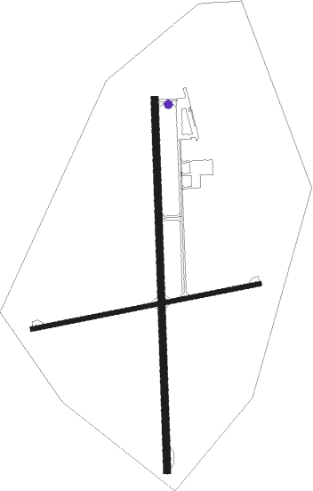
Runway info
Runway 01 / 19  | ||
| length | 1221m (4006ft) | |
| bearing | 4° / 184° | |
| width | 23m (75ft) | |
| surface | asphalt | |
| Runway 09 / 27 | ||
| length | 763m (2503ft) | |
| bearing | 85° / 265° | |
| width | 15m (50ft) | |
| surface | asphalt | |
| displ threshold | 101m (331ft) / 37m (121ft) | |
Nearby beacons
| code | identifier | dist | bearing | frequency |
|---|---|---|---|---|
| D7 | KINCARDINE NDB | 23.4 | 275° | 350 |
| YVV | WIARTON VOR/DME | 35.2 | 356° | 117.70 |
| YMS | MANS (MANSFIELD) VOR/DME | 39.5 | 91° | 114.50 |
| WT | (KITCHENER) DME | 51.4 | 136° | 115 |
| ZKF | WELLINGTON (KITCHENER) NDB | 52.2 | 131° | 335 |
Instrument approach procedures
| runway | airway (heading) | route (dist, bearing) |
|---|---|---|
| RW01 | RODVA (37°) | RODVA MIBDA (5mi, 92°) 2600ft |
| RW01 | SIMTI (329°) | SIMTI MIBDA (5mi, 272°) 2600ft |
| RW01 | VESLO (4°) | VESLO MIBDA (6mi, 4°) 2600ft |
| RNAV | MIBDA 2600ft PERVO (6mi, 4°) 2600ft CYHS (5mi, 3°) 946ft LOLDA (7mi, 4°) 3200ft LOLDA (turn) | |
| RW19 | DEBTU (149°) | DEBTU ILIVO (5mi, 92°) 2600ft |
| RW19 | KEGSI (217°) | KEGSI ILIVO (5mi, 272°) 2600ft |
| RNAV | ILIVO 2600ft LEXIR (6mi, 184°) 2600ft CYHS (5mi, 184°) 980ft EMDAG (7mi, 183°) 3200ft EMDAG (turn) |
Disclaimer
The information on this website is not for real aviation. Use this data with the X-Plane flight simulator only! Data taken with kind consent from X-Plane 12 source code and data files. Content is subject to change without notice.