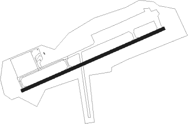
Stephenville
Airport details
| Country | Canada |
| State | Newfoundland and Labrador |
| Region | CY |
| Airspace | Gander Oceanic Ctr |
| Municipality | Stephenville |
| Elevation | 80ft (24m) |
| Timezone | GMT -3.5 |
| Coordinates | 48.54145, -58.54991 |
| Magnetic var | |
| Type | land |
| Available since | X-Plane v10.40 |
| ICAO code | CYJT |
| IATA code | YJT |
| FAA code | n/a |
Communication
| Stephenville ATC | 122.100 |
Approach frequencies
| ILS-cat-I | RW27 | 109.5 | 18.00mi |
| 3° GS | RW27 | 109.5 | 18.00mi |
Nearby beacons
| code | identifier | dist | bearing | frequency |
|---|---|---|---|---|
| YJT | STEPHENVILLE VOR/DME | 5.3 | 289° | 113.10 |
| ZJT | HARMON (STEPHENVILLE) NDB | 7.1 | 77° | 340 |
Instrument approach procedures
| runway | airway (heading) | route (dist, bearing) |
|---|---|---|
| RW09 | ITPUS (58°) | ITPUS EMBOL (5mi, 333°) 1900ft |
| RW09 | UKNUL (94°) | UKNUL EMBOL (5mi, 153°) 1900ft |
| RNAV | EMBOL 1900ft OBNAS (6mi, 77°) 1400ft CYJT (5mi, 79°) 62ft (4191mi, 130°) 700ft ITPUS (4196mi, 309°) 3100ft ITPUS (turn) | |
| RW27 | EBDAX (270°) | EBDAX MEGVU (5mi, 333°) 2900ft |
| RW27 | SATIV (242°) | SATIV MEGVU (5mi, 153°) 2900ft |
| RNAV | MEGVU 2900ft VEVRI (7mi, 257°) 2200ft CYJT (7mi, 256°) 135ft PEKLI (4mi, 259°) 3000ft PEKLI (turn) |
Disclaimer
The information on this website is not for real aviation. Use this data with the X-Plane flight simulator only! Data taken with kind consent from X-Plane 12 source code and data files. Content is subject to change without notice.