Chicoutimi - St Honore
Airport details
| Country | Canada |
| State | Quebec |
| Region | CY |
| Airspace | Montreal Ctr |
| Municipality | Saint-Honoré |
| Elevation | 541ft (165m) |
| Timezone | GMT -5 |
| Coordinates | 48.52686, -71.05399 |
| Magnetic var | |
| Type | land |
| Available since | X-Plane v10.40 |
| ICAO code | CYRC |
| IATA code | n/a |
| FAA code | n/a |
Communication
| St Honore ATIS | 134.800 |
| St Honore CTAF | 118.400 |
| St Honore Ground Control | 121.900 |
| St Honore Tower | 118.400 |
| St Honore VFR ADVSY | 123.400 |
| St Honore BAGOTVILLE TRML | 127.200 |
Nearby Points of Interest:
Saint-François-Xavier Cathedral
-Maison Price
-Arvida Heritage Site
-Maison Jean-Maurice-Coulombe
-Notre-Dame-de-Fatima Church
-3883, chemin Saint-Joseph
-Église Notre-Dame-de-l'Immaculée-Conception
-Moulin du Père-Honorat
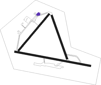
Runway info
Runway 12 / 30  | ||
| length | 1856m (6089ft) | |
| bearing | 100° / 280° | |
| width | 46m (150ft) | |
| surface | asphalt | |
| Runway 18 / 36 | ||
| length | 1097m (3599ft) | |
| bearing | 158° / 338° | |
| width | 46m (150ft) | |
| surface | asphalt | |
| Runway 06 / 24 | ||
| length | 1139m (3737ft) | |
| bearing | 56° / 236° | |
| width | 46m (150ft) | |
| surface | asphalt | |
Nearby beacons
| code | identifier | dist | bearing | frequency |
|---|---|---|---|---|
| YRC | ST-HONORE NDB | 4.1 | 275° | 213 |
| XBG | BAGOTVILLE TACAN | 12 | 164° | 111.80 |
| YBG | BAGOTVILLE NDB | 12.1 | 206° | 356 |
| VBS | SAGUENAY VOR/DME | 31.7 | 203° | 114.20 |
Instrument approach procedures
| runway | airway (heading) | route (dist, bearing) |
|---|---|---|
| RW12 | XESUT (87°) | XESUT RABAD (7mi, 69°) 2200ft |
| RW12 | XIDAK (112°) | XIDAK RABAD (7mi, 139°) 2200ft |
| RNAV | RABAD 2200ft ESRIX (5mi, 100°) 2170ft CYRC (5mi, 96°) 582ft XEXIN (10mi, 102°) 4600ft XEXIN (turn) | |
| RW30 | DUREG (264°) | DUREG TOXOP (5mi, 202°) 3000ft |
| RW30 | UMELU (281°) | UMELU TOXOP (7mi, 280°) 3600ft |
| RNAV | TOXOP 3000ft OTUPO (5mi, 280°) 2100ft CYRC (5mi, 285°) 593ft PUSOG (9mi, 278°) 4600ft PUSOG (turn) |
Disclaimer
The information on this website is not for real aviation. Use this data with the X-Plane flight simulator only! Data taken with kind consent from X-Plane 12 source code and data files. Content is subject to change without notice.