Sparwood - Sparwood Elk Valley
Airport details
| Country | Canada |
| State | British Columbia |
| Region | CY |
| Airspace | Edmonton Ctr |
| Municipality | Area A (Upper Flathead/Elk Valley) |
| Elevation | 3798ft (1158m) |
| Timezone | GMT -7 |
| Coordinates | 49.83333, -114.88333 |
| Magnetic var | |
| Type | land |
| Available since | X-Plane v10.40 |
| ICAO code | CYSW |
| IATA code | n/a |
| FAA code | n/a |
Communication
| Sparwood Elk Valley CTAF | 123.200 |
Nearby Points of Interest:
Lille
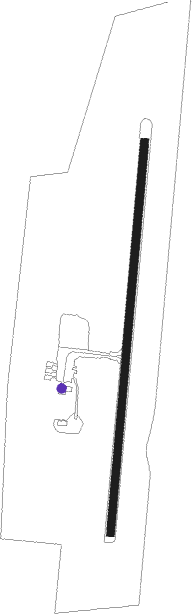
Runway info
| Runway 17 / 35 | ||
| length | 1214m (3983ft) | |
| bearing | 195° / 15° | |
| width | 23m (75ft) | |
| surface | asphalt | |
Nearby beacons
| code | identifier | dist | bearing | frequency |
|---|---|---|---|---|
| SX | SKOOKUM (CRANBROOK) NDB | 35.9 | 278° | 368 |
| XC | CRANBROOK NDB | 36 | 260° | 242 |
| 9Y | PINCHER CREEK NDB | 39 | 109° | 311 |
| D6 | FAIRMONT HOT SPRINGS NDB | 48.4 | 296° | 261 |
Disclaimer
The information on this website is not for real aviation. Use this data with the X-Plane flight simulator only! Data taken with kind consent from X-Plane 12 source code and data files. Content is subject to change without notice.