Kuujjuaq
Airport details
| Country | Canada |
| State | Quebec |
| Region | CY |
| Airspace | Montreal Ctr |
| Municipality | Kuujjuaq (Village) |
| Elevation | 128ft (39m) |
| Timezone | GMT -5 |
| Coordinates | 58.09488, -68.42217 |
| Magnetic var | |
| Type | land |
| Available since | X-Plane v10.40 |
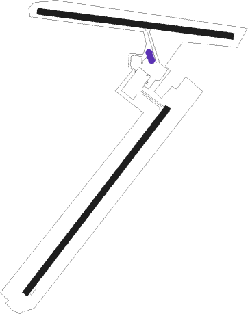
| ICAO code | CYVP |
| IATA code | YVP |
| FAA code | n/a |
Communication
| KUUJJUAQ Radio | 122.300 |
| KUUJJUAQ Radio Quebec | 123.275 |
Approach frequencies
| ILS-cat-I | RW07 | 110.3 | 18.00mi |
| 3° GS | RW07 | 110.3 | 18.00mi |

Nearby beacons
| code | identifier | dist | bearing | frequency |
|---|---|---|---|---|
| YVP | KUJACK (KUUJJUAQ) VOR/DME | 0.1 | 284° | 112.50 |
Instrument approach procedures
| runway | airway (heading) | route (dist, bearing) |
|---|---|---|
| RW07 | ALTUX (77°) | ALTUX LETUB (5mi, 115°) 1900ft |
| RW07 | FELIN (30°) | FELIN LETUB (5mi, 296°) 1900ft |
| RW07 | FORGS (55°) | FORGS LETUB (9mi, 49°) 1900ft |
| RNAV | LETUB 1900ft ROKLO (6mi, 59°) 1400ft CYVP (5mi, 59°) 134ft AVSOS (9mi, 60°) 2100ft AVSOS (turn) | |
| RW13 | AVRID (113°) | AVRID ERBEM (5mi, 201°) 1900ft |
| RW13 | GOTOM (84°) | GOTOM ERBEM (5mi, 21°) 1900ft |
| RNAV | ERBEM 1900ft OTELU (6mi, 96°) 1500ft EPNOT (2mi, 96°) 720ft CYVP (2mi, 104°) 180ft BEXOB (10mi, 95°) 2100ft BEXOB (turn) | |
| RW25 | IMUVA (256°) | IMUVA OVOTO (5mi, 296°) 1500ft |
| RW25 | XOTAR (215°) | XOTAR OVOTO (5mi, 115°) 1500ft |
| RNAV | OVOTO 1500ft IKLEL (8mi, 240°) 1500ft CYVP (4mi, 240°) 164ft OBSAG (2mi, 238°) DUVEB (8mi, 239°) 2100ft DUVEB (turn) | |
| RW31 | EPMIB (261°) | EPMIB TOTIN (5mi, 202°) 1600ft |
| RW31 | TOXAG (291°) | TOXAG TOTIN (5mi, 22°) 1600ft |
| RNAV | TOTIN 1600ft RETAD (6mi, 276°) 1400ft CYVP (4mi, 273°) 113ft UMANU (10mi, 278°) 2100ft UMANU (turn) |
Disclaimer
The information on this website is not for real aviation. Use this data with the X-Plane flight simulator only! Data taken with kind consent from X-Plane 12 source code and data files. Content is subject to change without notice.