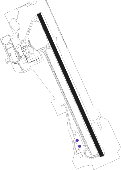
Wabush
Airport details
| Country | Canada |
| State | Newfoundland and Labrador |
| Region | CY |
| Airspace | Montreal Ctr |
| Municipality | Wabush |
| Elevation | 1808ft (551m) |
| Timezone | GMT -4 |
| Coordinates | 52.92273, -66.86468 |
| Magnetic var | |
| Type | land |
| Available since | X-Plane v10.40 |
| ICAO code | CYWK |
| IATA code | YWK |
| FAA code | n/a |
Communication
| Wabush AWOS | 128.125 |
| Wabush RADIO | 122.000 |
| Wabush MONTREAL CTR | 132.250 |
Approach frequencies
| ILS-cat-I | RW36 | 110.1 | 18.00mi |
| 2.9° GS | RW36 | 110.1 | 18.00mi |
Nearby beacons
| code | identifier | dist | bearing | frequency |
|---|---|---|---|---|
| YWK | WABUSH VOR/DME | 2.2 | 17° | 112.30 |
Instrument approach procedures
| runway | airway (heading) | route (dist, bearing) |
|---|---|---|
| RW18 | ARAME (21°) | ARAME KATPA (84mi, 18°) 5100ft IGVIN (23mi, 345°) 5000ft HECIT (5mi, 78°) 5000ft |
| RW18 | DUPLI (264°) | DUPLI ODKUD (59mi, 272°) 5000ft HECIT (5mi, 258°) 5000ft |
| RNAV | HECIT 5000ft ESVUT (6mi, 149°) 3600ft UDBAK (3mi, 149°) 2770ft CYWK (3mi, 149°) 1844ft NANRO (17mi, 150°) 4000ft NANRO (turn) | |
| RW36 | ALMIB (353°) | ALMIB NANRO (5mi, 72°) 4800ft |
| RW36 | BOPEP (308°) | BOPEP NANRO (6mi, 258°) 4800ft |
| RW36 | KERMU (338°) | KERMU NANRO (10mi, 353°) 4800ft |
| RW36 | NANRO (330°) | NANRO 4800ft |
| RNAV | NANRO 4800ft SAXET (8mi, 330°) 4500ft AMUSA (6mi, 330°) 2620ft CYWK (3mi, 329°) 1859ft (4582mi, 128°) 2600ft ODGAL (4571mi, 309°) 4800ft ODGAL (turn) |
Disclaimer
The information on this website is not for real aviation. Use this data with the X-Plane flight simulator only! Data taken with kind consent from X-Plane 12 source code and data files. Content is subject to change without notice.