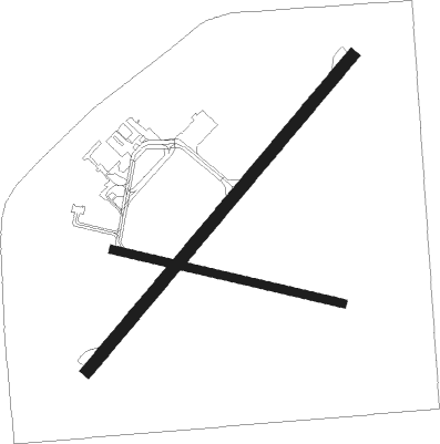
Medicine Hat
Airport details
| Country | Canada |
| State | Alberta |
| Region | CY |
| Airspace | Edmonton Ctr |
| Municipality | Medicine Hat |
| Elevation | 2351ft (717m) |
| Timezone | GMT -7 |
| Coordinates | 50.01889, -110.72063 |
| Magnetic var | |
| Type | land |
| Available since | X-Plane v10.40 |
| ICAO code | CYXH |
| IATA code | YXH |
| FAA code | n/a |
Communication
| Medicine Hat AWOS | 124.875 |
| Medicine Hat Radio / Traffic | 122.200 |

Nearby beacons
| code | identifier | dist | bearing | frequency |
|---|---|---|---|---|
| XH | MEDICINE HAT NDB | 3 | 266° | 332 |
| 6T | FOREMOST NDB | 43.7 | 235° | 362 |
| YEA | DME | 61.2 | 39° | 115.90 |
Departure and arrival routes
| Transition altitude | 18000ft |
| Transition level | 18000ft |
| SID end points | distance | outbound heading | |
|---|---|---|---|
| RW03 | |||
| VESDO1 | 23mi | 266° | |
| RW21 | |||
| VESDO1 | 23mi | 266° | |
| STAR starting points | distance | inbound heading | |
|---|---|---|---|
| RW03 | |||
| ODLAN1 | 18.2 | 93° | |
| RW21 | |||
| ODLAN1 | 18.2 | 93° | |
Instrument approach procedures
| runway | airway (heading) | route (dist, bearing) |
|---|---|---|
| RW03 | MENRA (36°) | MENRA TABVI (5mi, 324°) 4500ft |
| RW03 | VEVSA (73°) | VEVSA TABVI (5mi, 106°) 4500ft |
| RNAV | TABVI 4500ft EPTEG (6mi, 57°) 4000ft CYXH (5mi, 57°) 2399ft SETGI (5mi, 57°) 4200ft SETGI (turn) | |
| RW21 | NAKDA (237°) | NAKDA VIMGI (5mi, 237°) 4100ft |
| RW21 | ROLTI (253°) | ROLTI VIMGI (5mi, 287°) 4100ft |
| RNAV | VIMGI 4100ft PESVO (6mi, 237°) 4000ft CYXH (5mi, 237°) 2400ft TAGMI (5mi, 237°) 4200ft TAGMI (turn) |
Holding patterns
| STAR name | hold at | type | turn | heading* | altitude | leg | speed limit |
|---|---|---|---|---|---|---|---|
| ODLAN1 | ODLAN | VHF | right | 288 (108)° | > 6000ft | 1.0min timed | 230 |
| *) magnetic outbound (inbound) holding course | |||||||
Disclaimer
The information on this website is not for real aviation. Use this data with the X-Plane flight simulator only! Data taken with kind consent from X-Plane 12 source code and data files. Content is subject to change without notice.