Churchill
Airport details
| Country | Canada |
| State | Manitoba |
| Region | CY |
| Airspace | Winnipeg Ctr |
| Municipality | Churchill |
| Elevation | 94ft (29m) |
| Timezone | GMT -6 |
| Coordinates | 58.73906, -94.06638 |
| Magnetic var | |
| Type | land |
| Available since | X-Plane v10.40 |
| ICAO code | CYYQ |
| IATA code | YYQ |
| FAA code | n/a |
Communication
| Churchill Winnipeg | 134.600 |
| Churchill MF CHURCHILL RDO | 122.200 |
| Churchill Tower | 126.900 |
Approach frequencies
| ILS-cat-I | RW33 | 110.3 | 18.00mi |
| 3° GS | RW33 | 110.3 | 18.00mi |
Runway info
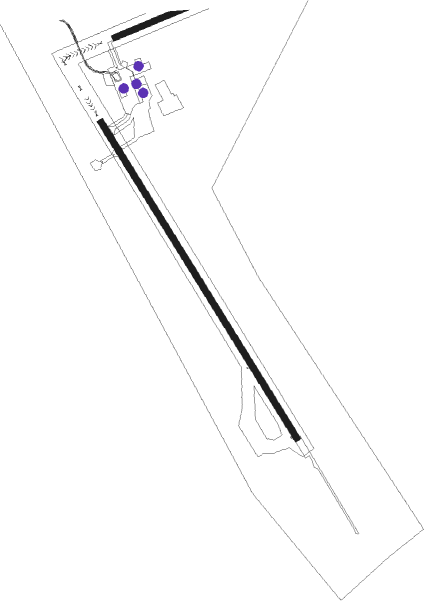
Runway 15 / 33  | ||
| length | 2797m (9177ft) | |
| bearing | 135° / 315° | |
| width | 49m (160ft) | |
| surface | asphalt | |
| blast zone | 1m (3ft) / 0m (0ft) | |
| Runway 07 / 25 | ||
| length | 1220m (4003ft) | |
| bearing | 80° / 260° | |
| width | 45m (148ft) | |
| surface | gravel | |
Nearby beacons
| code | identifier | dist | bearing | frequency |
|---|---|---|---|---|
| YYQ | CHURCHILL VOR/DME | 2.1 | 272° | 114.10 |
Instrument approach procedures
| runway | airway (heading) | route (dist, bearing) |
|---|---|---|
| RW07 | OMVEP (66°) | OMVEP URLON (5mi, 327°) 1400ft |
| RW07 | OTNIB (96°) | OTNIB URLON (5mi, 147°) 1400ft |
| RNAV | URLON 1400ft ITKUV (6mi, 80°) 1400ft CYYQ (4mi, 86°) 140ft USBOK (5mi, 75°) 1400ft USBOK (turn) | |
| RW15 | DUTIG (113°) | DUTIG ONBIP (5mi, 86°) 1400ft |
| RW15 | TAGEX (170°) | TAGEX ONBIP (5mi, 241°) 1400ft |
| RNAV | ONBIP 1400ft KEMVU (6mi, 135°) 1400ft CYYQ (4mi, 133°) 143ft XUDAL (4mi, 137°) 1400ft XUDAL (turn) | |
| RW25 | AGMES (241°) | AGMES MIXOS (5mi, 148°) 1400ft |
| RW25 | SIKRA (272°) | SIKRA MIXOS (5mi, 328°) 1400ft |
| RNAV | MIXOS 1400ft ARIUS (6mi, 260°) 1400ft MISET (2mi, 260°) 770ft CYYQ (3mi, 250°) 134ft AVATI (4mi, 266°) 1400ft AVATI (turn) | |
| RW33 | NOSIM (355°) | NOSIM PUSIK (5mi, 75°) 1400ft |
| RW33 | XOLTO (293°) | XOLTO PUSIK (5mi, 255°) 1400ft |
| RNAV | PUSIK 1400ft IMIGO (6mi, 315°) 1400ft CYYQ (5mi, 317°) 119ft XIBIB (4mi, 313°) 1400ft XIBIB (turn) |
Disclaimer
The information on this website is not for real aviation. Use this data with the X-Plane flight simulator only! Data taken with kind consent from X-Plane 12 source code and data files. Content is subject to change without notice.