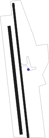
Ovid
Airport details
| Country | United States of America |
| State | New York |
| Region | |
| Airspace | Cleveland Ctr |
| Municipality | Town of Ovid |
| Elevation | 1062ft (324m) |
| Timezone | GMT -5 |
| Coordinates | 42.64927, -76.79652 |
| Magnetic var | |
| Type | land |
| Available since | X-Plane v10.40 |
| ICAO code | D82 |
| IATA code | n/a |
| FAA code | D82 |
Communication
| Ovid UNICOM | 122.800 |
Nearby Points of Interest:
Aaron Wilson House
-Seneca County Courthouse Complex at Ovid
-Lodi Methodist Church
-David and Mary Kinne Farmstead
-Covert Historic District
-Christopher Willis House
-Aurora Village–Wells College Historic District
-Aurora Steam Grist Mill
-Crooked Lake Outlet Historic District
-William Austin House
-Mosher Farmstead
-Second Baptist Society of Ulysses
-Hermon Camp House
-Jethro Wood House
-North Street Friends Meetinghouse
-Nicoll Halsey House and Halseyville Archeological Sites
-Sherwood Equal Rights Historic District
-Howland Cobblestone Store
-Slocum and Hannah Howland House
-Dundee Village Historic District
-Sampson Theatre
-Penn Yan Historic District
-United States Post Office
-Yates County Courthouse Park District
-Charles Wagener House
Nearby beacons
| code | identifier | dist | bearing | frequency |
|---|---|---|---|---|
| PYA | PENN YAN NDB | 11.4 | 269° | 260 |
| ITH | DME | 17.5 | 115° | 111.80 |
| IT | VRNAH (ITHACA) NDB | 23 | 117° | 266 |
| ALP | ALPINE (ELMIRA) NDB | 24.6 | 175° | 245 |
| ULW | ELMIRA VOR/DME | 34.8 | 202° | 109.65 |
| SYR | SYRACUSE VORTAC | 40.2 | 49° | 117 |
| CFB | BINGHAMTON VOR/DME | 41.5 | 127° | 112.20 |
| GEE | GENESEO VOR/DME | 42.7 | 281° | 108.20 |
| GGT | GEORGETOWN TACAN | 43.6 | 82° | 117.80 |
| FZ | FALLN (FULTON) NDB | 44 | 38° | 220 |
| ROC | ROCHESTER VOR/DME | 47.7 | 298° | 110 |
| SFK | STONYFORK VOR/DME | 63.6 | 213° | 108.60 |
Disclaimer
The information on this website is not for real aviation. Use this data with the X-Plane flight simulator only! Data taken with kind consent from X-Plane 12 source code and data files. Content is subject to change without notice.

