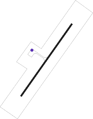
Ho
Airport details
| Country | Ghana |
| State | Volta Region |
| Region | |
| Airspace | Accra Ctr |
| Municipality | Ho |
| Elevation | 350ft (107m) |
| Timezone | GMT +0 |
| Coordinates | 6.57971, 0.53254 |
| Magnetic var | |
| Type | land |
| Available since | X-Plane v10.40 |
| ICAO code | DGAH |
| IATA code | n/a |
| FAA code | n/a |
Communication
Nearby beacons
| code | identifier | dist | bearing | frequency |
|---|---|---|---|---|
| LM | LOME VOR/DME | 49.9 | 118° | 115.30 |
| LE | LOME NDB | 50.7 | 114° | 294 |
| ACC | ACCRA VOR/DME | 70 | 216° | 113.10 |
Departure and arrival routes
| SID end points | distance | outbound heading | |
|---|---|---|---|
| RW04 | |||
| ONSU1C | 30mi | 217° | |
| RW22 | |||
| UGLA1D | 30mi | 230° | |
| STAR starting points | distance | inbound heading | |
|---|---|---|---|
| RW04 | |||
| ONSU1B | 30.1 | 37° | |
| RW22 | |||
| ONSU1A | 30.1 | 37° | |
Instrument approach procedures
| runway | airway (heading) | route (dist, bearing) |
|---|---|---|
| RW04 | DINLO (40°) | DINLO 3500ft ERGAL (6mi, 40°) 3000ft |
| RW04 | ENDAR (67°) | ENDAR 4000ft ERGAL (6mi, 130°) 3000ft |
| RW04 | POGPI (12°) | POGPI 3500ft ERGAL (6mi, 310°) 3000ft |
| RNAV | ERGAL 3000ft MEMUV (5mi, 40°) 2200ft AH004 (6mi, 40°) 367ft SENEL (6mi, 54°) 1230ft POGPI (18mi, 205°) POGPI (turn) | |
| RW22 | USPEL (182°) | USPEL 4000ft ARBUX (7mi, 137°) 3200ft |
| RNAV | ARBUX 3200ft EBTAV (6mi, 196°) 2000ft AH011 (5mi, 220°) 406ft OPASU (9mi, 258°) 2040ft USPEL (19mi, 29°) USPEL (turn) |
Disclaimer
The information on this website is not for real aviation. Use this data with the X-Plane flight simulator only! Data taken with kind consent from X-Plane 12 source code and data files. Content is subject to change without notice.
