Kaduna - Kaduna Old
Airport details
| Country | Nigeria |
| State | Kaduna State |
| Region | |
| Airspace | Kano Ctr |
| Municipality | Hayin Banki |
| Elevation | 2125ft (648m) |
| Timezone | GMT +1 |
| Coordinates | 10.59488, 7.44602 |
| Magnetic var | |
| Type | land |
| Available since | X-Plane v10.40 |
| ICAO code | DN53 |
| IATA code | n/a |
| FAA code | n/a |
Communication
| Kaduna old Tower | 118.500 |
Runway info
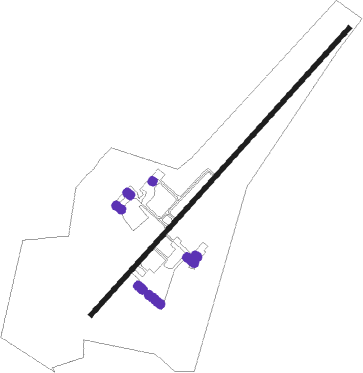
| Runway 05 / 23 | ||
| length | 2707m (8881ft) | |
| bearing | 47° / 227° | |
| width | 31m (102ft) | |
| surface | asphalt | |
| blast zone | 61m (200ft) / 61m (200ft) | |
Nearby beacons
| code | identifier | dist | bearing | frequency |
|---|---|---|---|---|
| KUA | KADUNA VOR | 0.1 | 51° | 114.70 |
| KC | NEW KADUNA NDB | 9.9 | 301° | 330 |
| KDA | KADUNA VOR/DME | 9.9 | 301° | 115.30 |
| ZA | ZARIA NDB | 36 | 25° | 336 |
Disclaimer
The information on this website is not for real aviation. Use this data with the X-Plane flight simulator only! Data taken with kind consent from X-Plane 12 source code and data files. Content is subject to change without notice.