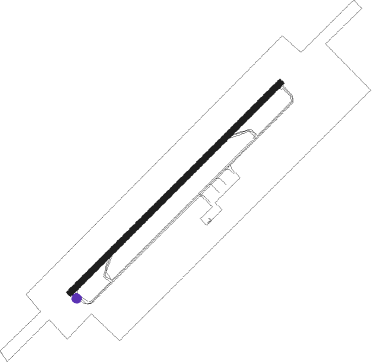
Kaduna
Airport details
| Country | Nigeria |
| State | Kaduna State |
| Region | DN |
| Airspace | Kano Ctr |
| Municipality | Afaka |
| Elevation | 2073ft (632m) |
| Timezone | GMT +1 |
| Coordinates | 10.69587, 7.32015 |
| Magnetic var | |
| Type | land |
| Available since | X-Plane v10.40 |
| ICAO code | DNKA |
| IATA code | KAD |
| FAA code | n/a |
Communication
| Kaduna Approach | 122.300 |
| Kaduna Approach | 122.600 |
Approach frequencies
| ILS-cat-I | RW05 | 110.1 | 18.00mi |
| 3° GS | RW05 | 110.1 | 18.00mi |
Nearby beacons
| code | identifier | dist | bearing | frequency |
|---|---|---|---|---|
| KC | NEW KADUNA NDB | 1.3 | 230° | 330 |
| KDA | KADUNA VOR/DME | 1.4 | 230° | 115.30 |
| KUA | KADUNA VOR | 9.6 | 128° | 114.70 |
| ZA | ZARIA NDB | 34.8 | 40° | 336 |
Instrument approach procedures
| runway | airway (heading) | route (dist, bearing) |
|---|---|---|
| RW05 | ARKUN (73°) | ARKUN BIGUG (5mi, 139°) 5000ft |
| RW05 | VOMLU (27°) | VOMLU BIGUG (5mi, 319°) 5000ft |
| RW05 | VOSUV (50°) | VOSUV BIGUG (5mi, 50°) 5000ft |
| RNAV | BIGUG 5000ft KA400 (5mi, 50°) 4000ft DNKA (7mi, 50°) 2086ft KA600 (8mi, 266°) ARKUN (5mi, 230°) BIGUG (5mi, 139°) BIGUG (turn) 5000ft | |
| RW23 | AKLUR (253°) | AKLUR VOPVO (5mi, 319°) 5000ft |
| RW23 | EVKAT (207°) | EVKAT VOPVO (5mi, 139°) 5000ft |
| RW23 | RUSNA (230°) | RUSNA VOPVO (5mi, 230°) 5000ft |
| RNAV | VOPVO 5000ft KA500 (5mi, 230°) 4000ft DNKA (7mi, 230°) 2120ft KA700 (8mi, 13°) EVKAT (5mi, 50°) VOPVO (5mi, 139°) VOPVO (turn) 5000ft |
Disclaimer
The information on this website is not for real aviation. Use this data with the X-Plane flight simulator only! Data taken with kind consent from X-Plane 12 source code and data files. Content is subject to change without notice.
