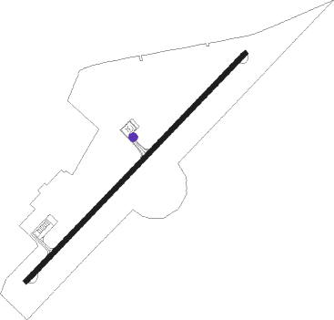
Gafsa
Airport details
| Country | Tunisia |
| State | Gafsa |
| Region | DT |
| Airspace | Tunis Ctr |
| Municipality | المطار |
| Elevation | 1060ft (323m) |
| Timezone | GMT +1 |
| Coordinates | 34.41555, 8.81361 |
| Magnetic var | |
| Type | land |
| Available since | X-Plane v10.40 |
| ICAO code | DTTF |
| IATA code | GAF |
| FAA code | n/a |
Communication
| GAFSA Tower | 125.100 |
| GAFSA Approach | 122.750 |
Nearby Points of Interest:
Great Mosque of Gafsa
-Shatt al Guettar
Nearby beacons
| code | identifier | dist | bearing | frequency |
|---|---|---|---|---|
| GAF | GAFSA VOR/DME | 0.6 | 65° | 109 |
| BAN | SIDI BEN AOUN VOR | 32 | 38° | 115.30 |
| TON | TOZEUR VOR/DME | 45.4 | 236° | 117 |
| ZN | TOZEUR NDB | 49.2 | 240° | 375 |
Departure and arrival routes
| Transition altitude | 6000ft |
| SID end points | distance | outbound heading | |
|---|---|---|---|
| RW05 | |||
| SOUI2B | 16mi | 39° | |
| ORBA1B | 15mi | 90° | |
| ASMA1B | 15mi | 213° | |
| JEDL1B | 14mi | 244° | |
| RW23 | |||
| SOUI1A | 16mi | 39° | |
| ORBA1A | 15mi | 90° | |
| ASMA1A | 15mi | 213° | |
| JEDL1A | 14mi | 244° | |
Disclaimer
The information on this website is not for real aviation. Use this data with the X-Plane flight simulator only! Data taken with kind consent from X-Plane 12 source code and data files. Content is subject to change without notice.
