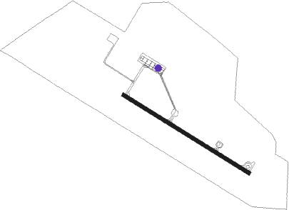
Borj El Amri
Airport details
| Country | Tunisia |
| State | Manouba |
| Region | DT |
| Airspace | Tunis Ctr |
| Municipality | الفجة |
| Elevation | 107ft (33m) |
| Timezone | GMT +1 |
| Coordinates | 36.72111, 9.94333 |
| Magnetic var | |
| Type | land |
| Available since | X-Plane v10.40 |
| ICAO code | DTTI |
| IATA code | n/a |
| FAA code | n/a |
Communication
| Borj El Amri Borj El Amri Tower | 123.000 |
Nearby Points of Interest:
Aqueduct of Zaghouan
-Zaouia of Sidi Kacem El Jellizi
-Al Haoua Mosque
-Mosque of Sidi El Baghdadi
-Mosque of Ben Hmida
-Madrasa of Bir Lahjar
-Mosque of Sidi Bou Hadid
-Mosque of Sidi El Ansari
-Palace of Justice
-Souk Es Sekajine
-Mosque of El Charbati
-Mosque of Tabbanine
-Tourba of Ahmed Khodja
-Pacha Street Lyceum
-Souk El Haddadine
-Mosque of El Hajjamine
-Madrasa of El Achouria
-Tourba of Kara Mustafa Dey
-Madrasa of El Mettichia
-Souk Ed Dziria
-Souk El Bchamakiya
-Souk El Kouafi
-Mosque of Laz
-Zaouia of Sidi El Bahi
-Mosque of Melmli
Nearby beacons
| code | identifier | dist | bearing | frequency |
|---|---|---|---|---|
| TUC | TUNIS VOR/DME | 15.8 | 66° | 116.50 |
| TS | RAOUAD NDB | 19.7 | 55° | 325 |
| BIZ | BIZERTE VOR/DME | 32.1 | 341° | 114.20 |
| NBA | ENFIDHA VOR/DME | 45.5 | 143° | 114.35 |
| MS | M'SAKEN (MONASTIR) NDB | 68.2 | 146° | 275 |
| MON | MONASTIR VOR/DME | 69.9 | 140° | 113.10 |
Disclaimer
The information on this website is not for real aviation. Use this data with the X-Plane flight simulator only! Data taken with kind consent from X-Plane 12 source code and data files. Content is subject to change without notice.
