Wickenburg - Wickenburg Muni
Airport details
| Country | United States of America |
| State | Arizona |
| Region | K2 |
| Airspace | Albuquerque Ctr |
| Municipality | Wickenburg |
| Elevation | 2376ft (724m) |
| Timezone | GMT -7 |
| Coordinates | 33.96524, -112.80457 |
| Magnetic var | |
| Type | land |
| Available since | X-Plane v10.40 |
| ICAO code | E25 |
| IATA code | n/a |
| FAA code | E25 |
Communication
| Wickenburg Muni ASOS/AWOS | 121.375 |
| Wickenburg Muni CTAF/UNICOM | 123.000 |
Nearby Points of Interest:
Santa Fe Railroad Depot
-Old Brick Post Office
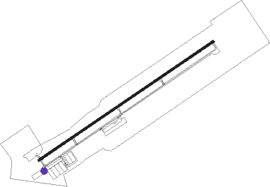
Runway info
| Runway 5 / 23 | ||
| length | 1864m (6115ft) | |
| bearing | 65° / 245° | |
| width | 23m (75ft) | |
| surface | asphalt | |
| blast zone | 47m (154ft) / 41m (135ft) | |
Nearby beacons
| code | identifier | dist | bearing | frequency |
|---|---|---|---|---|
| BXK | BUCKEYE VORTAC | 30.7 | 182° | 110.60 |
| LUF | LUKE (GLENDALE) TACAN | 33.2 | 135° | 113 |
| DRK | DRAKE (PRESCOTT) VORTAC | 47.1 | 24° | 114.10 |
| PXR | PHOENIX VORTAC | 52.5 | 123° | 115.60 |
Disclaimer
The information on this website is not for real aviation. Use this data with the X-Plane flight simulator only! Data taken with kind consent from X-Plane 12 source code and data files. Content is subject to change without notice.