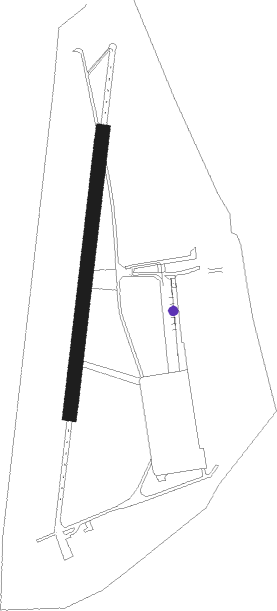
Grimbergen - Grimbergen / Lint
Airport details
| Country | Belgium |
| State | Flemish Brabant |
| Region | EB |
| Airspace | Brussels Ctr |
| Municipality | Grimbergen |
| Elevation | 68ft (21m) |
| Timezone | GMT +1 |
| Coordinates | 50.94861, 4.39194 |
| Magnetic var | |
| Type | land |
| Available since | X-Plane v10.40 |
| ICAO code | EBGB |
| IATA code | n/a |
| FAA code | n/a |
Communication
| Grimbergen / Lint Grimbergen Radio | 119.505 |
Nearby Points of Interest:
Museum voor de Oudere Technieken | Tommenmolen
-Charleroyhoeve
-Kasteel ten Berg
-Spiegelhof
-Hof ter Weerde
-Tuchthuis, Vilvoorde
-Hooghuis
-Former Our Lady of Laeken
-Bois de Dieleghem
-Brussels Airport
-Mechelen-Zuid Water Tower
-Town hall of Laeken
-Dieleghem Abbey
-Sint-Stefanuskerk
-Town hall of Schaerbeek
-Sint-Martinuskerk
-Verhaeghe House
-Lantern of Lalaing
-Josaphat School
-Huis Leblicq
-Huis Charles Fortin
-Hotel Cohn-Donnay
-Maison Hellinckx
-Hof van Schoofs
-Eigen huis van de architect Michel Mayeres
Nearby beacons
| code | identifier | dist | bearing | frequency |
|---|---|---|---|---|
| BUB | BRUSSELS VOR/DME | 6.1 | 108° | 114.60 |
| OP | BRUSSELS NATIONAL NDB | 7.6 | 93° | 402 |
| OZ | BRUSSELS NATIONAL NDB | 7.8 | 148° | 314 |
| OB | BRUSSELS NDB | 8.6 | 97° | 293 |
| AFI | AFFLIGEM VOR/DME | 9.8 | 261° | 114.90 |
| ONW | ANTWERP NDB | 14.6 | 39° | 355 |
| ANT | ANTWERP (DEURNE) VOR/DME | 14.8 | 18° | 113.50 |
| NIK | NICKY VOR/DME | 15.1 | 316° | 117.40 |
| HUL | HULDENBERG VOR/DME | 15.2 | 129° | 117.55 |
| BBE | BEAUVECHAIN TACAN | 18.3 | 117° | 116 |
| HTB | BEAUVECHAIN NDB | 18.3 | 117° | 381 |
| BUN | BRUNO VOR/DME | 19.8 | 69° | 110.60 |
| ONC | CHARLEROI NDB | 28.2 | 160° | 323 |
| FLO | FLORA VOR/DME | 28.4 | 96° | 112.05 |
| GSY | GOSLY (CHARLEROI) VOR/DME | 29.7 | 174° | 115.70 |
| WDT | WOENSDRECHT TACAN | 30 | 355° | 115 |
| CIV | CHIEVRES VORTAC | 30.9 | 236° | 113.20 |
| MAK | MACKEL NDB | 33.8 | 271° | 360 |
| GZR | GILZE-RIJEN TACAN | 42.3 | 41° | 116.40 |
| BFS | FLORENNES TACAN | 43.6 | 160° | 111.50 |
| EHV | EINDHOVEN TACAN | 47.6 | 63° | 117.20 |
Disclaimer
The information on this website is not for real aviation. Use this data with the X-Plane flight simulator only! Data taken with kind consent from X-Plane 12 source code and data files. Content is subject to change without notice.
