Gera - Gera-leumnitz
Airport details
| Country | Germany |
| State | Thuringia |
| Region | ED |
| Airspace | Munich Ctr |
| Municipality | Gera |
| Elevation | 1015ft (309m) |
| Timezone | GMT +1 |
| Coordinates | 50.88133, 12.13533 |
| Magnetic var | |
| Type | land |
| Available since | X-Plane v10.40 |
| ICAO code | EDAJ |
| IATA code | n/a |
| FAA code | n/a |
Communication
| Gera-Leumnitz Gera Info | 118.075 |
Nearby Points of Interest:
Dorfkirche Thränitz
-Villa Maurer
-Saint Peter Church (Dorna, Gera)
-Villa Späthe
-Handelshof
-Church Kaimberg
-Rittergut Kaimberg
-Kirche Kauern
-St. Nikolaus
-St. Margareten
-Schloss Tinz
-Dorfkirche Söllmnitz
-Protestant Church Hilbersdorf
-Protestant Church Niebra
-Fourteen Holy Helpers Church (Langenberg, Gera)
-Kirche Hirschfeld
-Burgkirche Posterstein
-Dorfkirche Großfalka
-Saint Martin Church
-Protestant Church Hartroda
-Dorfkirche Weißig
-Schlosskirche Heuckewalde
-Schloss Bad Köstritz
-Protestant Church (Jonaswalde)
-Dorfkirche Nischwitz
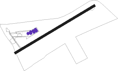
Runway info
| Runway 06 / 24 | ||
| length | 929m (3048ft) | |
| bearing | 73° / 253° | |
| width | 24m (79ft) | |
| surface | asphalt | |
| displ threshold | 55m (180ft) / 120m (394ft) | |
Nearby beacons
| code | identifier | dist | bearing | frequency |
|---|---|---|---|---|
| AGD | DME | 15.5 | 75° | 115.30 |
| ABU | ALTENBURG NDB | 16 | 74° | 330 |
| LLD | SOUTH(LEIPZIG- DME | 32.2 | 10° | 112.15 |
| SKZ | SCHKEUDITZ (LEIPZIG-HALLE) NDB | 32.4 | 14° | 357 |
| LND | NORTH(LEIPZIG- DME | 33.3 | 9° | 113.50 |
| ZIG | LEIPZIG NDB | 33.6 | 15° | 340 |
| ERF | ERFURT VOR/DME | 34.2 | 274° | 113.85 |
| GOT | GOTEM VOR/DME | 34.3 | 311° | 115.25 |
| LEG | LEIPZIG VOR/DME | 35.6 | 31° | 115.85 |
| OKG | CHEB VOR/DME | 50 | 162° | 115.70 |
| L | VRATA (KARLOVY VARY) NDB | 51.4 | 130° | 365 |
| BAY | BAYREUTH VOR | 57.1 | 209° | 110.60 |
| CB | COCHSTEDT NDB | 64.1 | 325° | 344 |
| HOZ | HOLZDORF NDB | 64.4 | 47° | 406 |
Disclaimer
The information on this website is not for real aviation. Use this data with the X-Plane flight simulator only! Data taken with kind consent from X-Plane 12 source code and data files. Content is subject to change without notice.