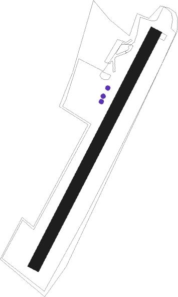
Marburg - Marburg Schoenstadt
Airport details
| Country | Germany |
| State | Hesse |
| Region | ED |
| Airspace | Langen Ctr |
| Municipality | Cölbe |
| Elevation | 833ft (254m) |
| Timezone | GMT +1 |
| Coordinates | 50.87450, 8.81500 |
| Magnetic var | |
| Type | land |
| Available since | X-Plane v10.40 |
| ICAO code | EDFN |
| IATA code | n/a |
| FAA code | n/a |
Communication
| Marburg Schoenstadt Marburg Info | 123.000 |
Nearby Points of Interest:
Evangelische Kirche Schwarzenborn
-Schmittgasse 6
-Lahnberge
-Evangelische Kirche Sterzhausen
-Marburger Rathaus
-Grüner Mühle
-Bauerbacher Kreuz
-Bismarck Tower (Marburg)
-Hessian State Archives
-Borngasse 33
-Kirche Amönau
-Kirche zu Elnhausen
-St. Johannes der Täufer
-Kirche Dilschhausen
-Church of Bortshausen
-Gemünden (Wohra) railway station
-Kirche Diedenshausen
-Jagdschloss Wolkersdorf
-Kirche Leidenhofen
-Kirche Frohnhausen
-Kirche Niederwalgern
-Par-Allna
-Battenfeld Church
-Bahnhof Allendorf (Eder)
-Röddenau
Nearby beacons
| code | identifier | dist | bearing | frequency |
|---|---|---|---|---|
| FTZ | FRITZLAR NDB | 25.9 | 71° | 468 |
| SIL | SIEGERLAND NDB | 28.2 | 254° | 489 |
| SLD | DME | 29.7 | 257° | 108.05 |
| GED | GEDERN VORTAC | 32.3 | 137° | 110.80 |
| FUL | FULDA VOR/DME | 33.3 | 110° | 112.10 |
| MTR | METRO VOR | 35.9 | 177° | 110 |
| GMH | GERMINGHAUSEN VOR/DME | 39.1 | 288° | 115.40 |
| WRB | WARBURG VOR/DME | 39.5 | 25° | 113.70 |
| DKS | DME-ILS | 39.6 | 47° | 111.50 |
| PAD | DME-ILS | 44.7 | 345° | 108.50 |
| TAU | TAUNUS VOR/DME | 44.9 | 226° | 113.35 |
| PAD | PADERBORN-LIPPSTADT NDB | 45.4 | 347° | 354 |
| FR | FRANKFURT NDB | 48.8 | 189° | 297 |
| FFM | FRANKFURT VORTAC | 49.7 | 192° | 114.20 |
| FRD | DME | 51.5 | 196° | 115.90 |
| WIB | WIESBADEN TACAN | 53.3 | 211° | 114.10 |
| FW | FRANKFURT NDB | 54.2 | 204° | 382 |
| VFM | NAUHEIM VOR | 56.3 | 201° | 113.75 |
| CHA | CHARLIE VOR/DME | 57.9 | 167° | 115.35 |
Disclaimer
The information on this website is not for real aviation. Use this data with the X-Plane flight simulator only! Data taken with kind consent from X-Plane 12 source code and data files. Content is subject to change without notice.