Hasenmoor - Hartenholm
Airport details
| Country | Germany |
| State | Schleswig-Holstein |
| Region | ED |
| Airspace | Bremen Ctr |
| Municipality | Hasenmoor |
| Elevation | 105ft (32m) |
| Timezone | GMT +1 |
| Coordinates | 53.91424, 10.03832 |
| Magnetic var | |
| Type | land |
| Available since | X-Plane v10.40 |
| ICAO code | EDHM |
| IATA code | n/a |
| FAA code | n/a |
Communication
| Hartenholm Hartenholm Info | 118.125 |
Nearby Points of Interest:
Neumünster prison
-Caspar-von-Saldern-Haus
-Altes Rathaus
-Wollspinnerei Blunck
-Villa Wachholtz
-Pissoir in der Bahnhofstraße
-Kirchspielvogteigebäude Segeberg
-Traventhal House
-Amtsgericht Bad Segeberg
-Grabhügel bei Hemdingen
-Bewobau-Siedlung Quickborn
-Justizvollzugsanstalt Glasmoor
-Victor-Andersen-Haus
-Wasserturm Aukrug-Böken
-Gut Rohlstorf
-Gut Wensin
-Bordesholmer Kloster
-Alte Post
-Bordesholm Gerichtslinde
-Altes Kreishaus
-Frank’sche Siedlung
-Haus Kornweg 17E
-Haus Stübekamp 75
-JVA Fuhlsbüttel
-St.-Anschar-Kirche
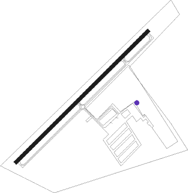
Runway info
| Runway 05 / 23 | ||
| length | 759m (2490ft) | |
| bearing | 64° / 244° | |
| width | 15m (49ft) | |
| surface | asphalt | |
| displ threshold | 0m (0ft) / 253m (830ft) | |
Nearby beacons
| code | identifier | dist | bearing | frequency |
|---|---|---|---|---|
| HAM | HAMBURG VORTAC | 14.9 | 144° | 113.10 |
| ALF | DME | 16.8 | 189° | 115.80 |
| LYE | LUEBECK NDB | 24.2 | 100° | 394 |
| HN | HOHN NDB | 27.9 | 318° | 344 |
| KIL | KIEL-HOLTENAU NDB | 27.9 | 10° | 353 |
| KHD | (HOLTENAU) DME-ILS | 28.1 | 13° | 109.50 |
| HNT | HOHN TACAN | 29.6 | 308° | 115.30 |
| SWG | SCHLESWIG TACAN | 37.7 | 316° | 111.80 |
| ALS | ALSIE VOR | 59.5 | 357° | 114.70 |
| FSB | FASSBERG NDB | 60.2 | 171° | 284 |
Disclaimer
The information on this website is not for real aviation. Use this data with the X-Plane flight simulator only! Data taken with kind consent from X-Plane 12 source code and data files. Content is subject to change without notice.