Attendorn - Attendorn-finnentrop
Airport details
| Country | Germany |
| State | North Rhine-Westphalia |
| Region | ED |
| Airspace | Langen Ctr |
| Municipality | Finnentrop |
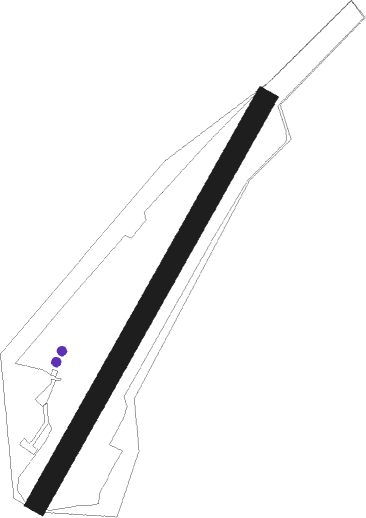
| Elevation | 1040ft (317m) |
| Timezone | GMT +1 |
| Coordinates | 51.14504, 7.93403 |
| Magnetic var | |
| Type | land |
| Available since | X-Plane v10.32 |
| ICAO code | EDKU |
| IATA code | n/a |
| FAA code | n/a |
Communication
| Attendorn-Finnentrop Attendorn Info | 121.405 |
Nearby Points of Interest:
Kloster Ewig
-Amtsgericht Plettenberg
-Bone mill
-Protestant Church Altenhundem
-Pallottihaus
-St. Hubertus und St. Antonius Abt
-St. Peter und Paul
-Saint George Church
-Stadtbefestigung Olpe
-Jüdischer Friedhof
-Amtsgericht Olpe
-St. Mariä Heimsuchung
-St. Josef
-St. Antonius Eremit (Dormecke)
-Rathaus Werdohl
-Leiden Christi (Stockum)
-Alte Mühle Cobbenrode
-St. Clemens
-Kloster Drolshagen
-Hl. Drei Könige (Oberlandenbeck)
-Platehof
-St. Katharina
-St. Margaretha
-St.-Anna-Kirche (Belmicke)
-Amtsgericht Meinerzhagen
Nearby beacons
| code | identifier | dist | bearing | frequency |
|---|---|---|---|---|
| GMH | GERMINGHAUSEN VOR/DME | 2.2 | 301° | 115.40 |
| COL | COLA VOR/DME | 25.2 | 223° | 108.80 |
| WYP | WIPPER VOR | 25.3 | 262° | 109.60 |
| DWI | DORTMUND-WICKEDE NDB | 25.4 | 322° | 357 |
| DOR | WICKEDE (DORTMUND) VOR/DME | 25.5 | 321° | 108.65 |
| SLD | DME | 26.8 | 162° | 108.05 |
| SIL | SIEGERLAND NDB | 28.9 | 156° | 489 |
| LW | COLOGNE-BONN NDB | 29.6 | 250° | 300 |
| BAM | BARMEN VOR/DME | 30.5 | 284° | 114 |
| LV | COLOGNE-BONN NDB | 33.2 | 244° | 327 |
| KBO | COLOGNE-BONN VOR/DME | 34.3 | 250° | 112.15 |
| LJ | COLOGNE-BONN NDB | 35.4 | 256° | 365 |
| PAD | DME-ILS | 37.9 | 56° | 108.50 |
| PAD | PADERBORN-LIPPSTADT NDB | 39 | 56° | 354 |
| BOT | BOTTROP NDB | 43.2 | 296° | 406 |
| HMM | HAMM VOR/DME | 43.5 | 342° | 115.65 |
| TAU | TAUNUS VOR/DME | 54.4 | 166° | 113.35 |
| MOD | DME | 60.3 | 346° | 114.05 |
| MTR | METRO VOR | 62.7 | 134° | 110 |
| BUE | BUECHEL TACAN | 66.7 | 222° | 117.10 |
Disclaimer
The information on this website is not for real aviation. Use this data with the X-Plane flight simulator only! Data taken with kind consent from X-Plane 12 source code and data files. Content is subject to change without notice.