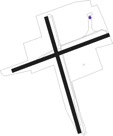
Kempten - Kempten - Durach
Airport details
| Country | Germany |
| State | Bavaria |
| Region | ED |
| Airspace | Munich Ctr |
| Municipality | Durach |
| Elevation | 2333ft (711m) |
| Timezone | GMT +1 |
| Coordinates | 47.69138, 10.34015 |
| Magnetic var | |
| Type | land |
| Available since | X-Plane v10.40 |
| ICAO code | EDMK |
| IATA code | n/a |
| FAA code | n/a |
Communication
| Kempten - Durach INFO | 124.005 |
Nearby Points of Interest:
Pfarrhaus
-Franzosenbauer
-St. Martin und Alexander
-Dreifaltigkeitskapelle
-Ehemaliger Steinbruch südlich von Tannen
-Christi Himmelfahrt (Kempten)
-Chapuis-Villa
-Evangelischer Friedhof Kempten
-Kriegerdenkmal (Lenzfried)
-Zum Schwarzen Adler
-Haus der Milchwirtschaft
-Rotes Haus
-Buchenberger Bäck
-Reichsstädtische Münze
-Stadtwaage
-Erasmus Chapel
-Pfarrkirche St. Mang
-Zollamt
-Zum Grünen Baum
-St. Cosmas und Damian (Rauns)
-Ponikauhaus
-Stern-Apotheke
-Zur Stadt Hamburg
-Rathausstraße 5

Nearby beacons
| code | identifier | dist | bearing | frequency |
|---|---|---|---|---|
| KPT | KEMPTEN VOR/DME | 3.2 | 10° | 108.40 |
| ALD | (MEMMINGEN/ALLGAU) DME | 18.3 | 340° | 117.20 |
| ALG | ALLGAEU (MEMMINGEN) NDB | 18.6 | 346° | 341 |
| FHD | DME | 33.7 | 268° | 112.60 |
| LUP | LAUPHEIM NDB | 36 | 321° | 407 |
| LCH | LECHFELD TACAN | 36.5 | 46° | 108.80 |
| OBI | OBERPFAFFENHOFEN NDB | 44.6 | 68° | 429 |
| AGB | AUGSBURG NDB | 50 | 39° | 318 |
| AUG | DME | 50.1 | 39° | 115.90 |
| MAH | MAISACH VOR/DME | 52 | 60° | 115.20 |
| WFJ | DME | 56 | 212° | 113.75 |
| WLD | WALDA VOR/DME | 62 | 42° | 112.80 |
Disclaimer
The information on this website is not for real aviation. Use this data with the X-Plane flight simulator only! Data taken with kind consent from X-Plane 12 source code and data files. Content is subject to change without notice.