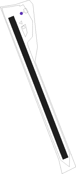
Elsenthal-grafenau
Airport details
| Country | Germany |
| State | Bavaria |
| Region | ED |
| Airspace | Munich Ctr |
| Municipality | Grafenau |
| Elevation | 1433ft (437m) |
| Timezone | GMT +1 |
| Coordinates | 48.82233, 13.36750 |
| Magnetic var | |
| Type | land |
| Available since | X-Plane v10.40 |
| ICAO code | EDNF |
| IATA code | n/a |
| FAA code | n/a |
Communication
| Elsenthal-Grafenau Grafenau Info | 122.500 |
Nearby Points of Interest:
Schloss Eberhardsreuth
-Cultural heritage D-2-7145-0001 in Schönberg (Niederbayern)
-Kapelle St. Josef (Schönanger)
-Sankt Maria Immaculata in Kirchdorf im Wald
-Saint Martin's church
-Pfarrkirche Hinterschmiding
-St. Josef (Karlsbach)
-St. Petrus und Paulus (Aicha vorm Wald)
-Cultural heritage D-2-7247-0029 in Büchlberg
-Lower Bavarian Open-Air Museums
-Wallfahrtskirche Handlab
-Bahnhof Waldkirchen
-Kloster Thyrnau
-Rathaus
-Vchynice-Tetov Canal
-Schloss Ludwigsthal
-Schloss Eggendobl
-Alt-Daun-Hof
-Lamberg-Kapelle
-Franziskanerkloster Passau
-Trennbach Chapel
-Sixtuskapelle
-Andreaskapelle
-Town hall of Passau
-Kloster Niedernburg
Nearby beacons
| code | identifier | dist | bearing | frequency |
|---|---|---|---|---|
| RDG | RODING VOR/DME | 35.6 | 285° | 114.70 |
| FRE | DME | 38.2 | 117° | 113.50 |
| LNZ | LINZ VOR/DME | 46 | 129° | 116.60 |
| LNZ | LINZ NDB | 51.7 | 122° | 327 |
| SBG | SALZBURG VOR/DME | 52.7 | 210° | 113.80 |
| SBG | SALZBURG NDB | 54.6 | 209° | 382 |
| PSK | DME | 63.4 | 35° | 117.60 |
Disclaimer
The information on this website is not for real aviation. Use this data with the X-Plane flight simulator only! Data taken with kind consent from X-Plane 12 source code and data files. Content is subject to change without notice.