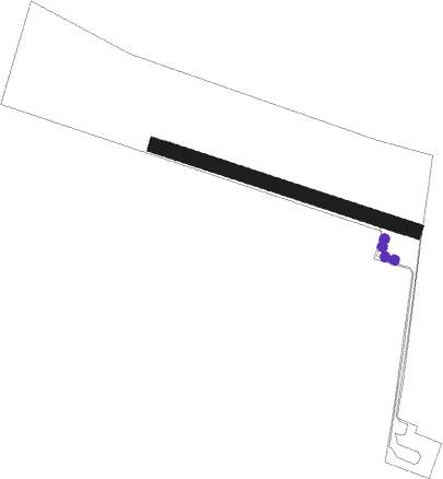
Oschersleben
Airport details
| Country | Germany |
| State | Saxony-Anhalt |
| Region | ED |
| Airspace | Bremen Ctr |
| Municipality | Oschersleben |
| Elevation | 305ft (93m) |
| Timezone | GMT +1 |
| Coordinates | 52.03627, 11.20945 |
| Magnetic var | |
| Type | land |
| Available since | X-Plane v10.40 |
| ICAO code | EDOL |
| IATA code | n/a |
| FAA code | n/a |
Communication
| Oschersleben Oschersleben Info | 129.400 |
Nearby Points of Interest:
Gartenstraße 5 (Oschersleben)
-Gartenstraße 36 (Oschersleben)
-Amtsgericht Oschersleben
-Alte Dorfstraße 10, 18, 21
-Rathaus Oschersleben
-Hubertushöhe
-St. Norbert
-Schloss Krottorf
-Sankt-Stephani-Kirche
-St. Paulskirche Seehausen
-Kloster Meyendorf
-St. Josef
-Sankt-Martini-Kirche
-Burg Emersleben
-Gutskapelle Bergen
-Gutshof Völpke
-Denkmal in der Bahnhofsstraße in Hötensleben
-Pfarrhof Hötensleben
-Ackerwinkel 2, 3
-St. Joseph und Augustinus (Hötensleben)
-Wienertscher Hof
-Plan 16
-Protestant Church Klein Quenstedt
-Amtsgericht Hötensleben
-Bäckerstraße 9
Nearby beacons
| code | identifier | dist | bearing | frequency |
|---|---|---|---|---|
| CB | COCHSTEDT NDB | 13.8 | 126° | 344 |
| MAG | MAGDEBURG VOR/DME | 21.7 | 94° | 110.45 |
| HLZ | HEHLINGEN VOR/DME | 24.8 | 308° | 117.30 |
| BRU | BRAUNSCHWEIG-WOLFSBURG NDB | 28 | 295° | 427 |
| GOT | GOTEM VOR/DME | 44 | 151° | 115.25 |
| BKD | BRUENKENDORF VOR/DME | 61.2 | 19° | 117.70 |
Disclaimer
The information on this website is not for real aviation. Use this data with the X-Plane flight simulator only! Data taken with kind consent from X-Plane 12 source code and data files. Content is subject to change without notice.