Waren - Waren-vielist
Airport details
| Country | Germany |
| State | Mecklenburg-Vorpommern |
| Region | ED |
| Airspace | Bremen Ctr |
| Municipality | Grabowhöfe |
| Elevation | 282ft (86m) |
| Timezone | GMT +1 |
| Coordinates | 53.56867, 12.65283 |
| Magnetic var | |
| Type | land |
| Available since | X-Plane v10.40 |
| ICAO code | EDOW |
| IATA code | n/a |
| FAA code | n/a |
Communication
| Waren-Vielist Waren Info | 130.325 |
Nearby Points of Interest:
Waren Town Hall
-Schloss Ulrichshusen
-Dorfkirche Rambow
-Riesenstein
-Church in Dahmen
-Burgwall Hungerstorf
-manoir de Federow
-Burgwall Clausdorf
-Schloss Blücher
-Dorfkirche Bülow
-Schloss Kittendorf
-Church in Kittendorf
-Rathaus Malchow
-Hofstraße 5 (Linstow)
-Church in Linstow
-Burgwall Möllenhagen
-Church in Möllenhagen
-Burgwall Malchin
-Schloss Bredenfelde
-Church in Remplin
-Gutshaus Ludorf
-Town hall in Röbel/Müritz
-Synagoge
-Röbel (Meckl) railway station
-Fritz Reuter Memorial
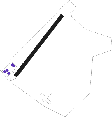
Runway info
| Runway 04 / 22 | ||
| length | 755m (2477ft) | |
| bearing | 57° / 237° | |
| width | 37m (122ft) | |
| surface | grass | |
Nearby beacons
| code | identifier | dist | bearing | frequency |
|---|---|---|---|---|
| LAG | LAAGE TACAN | 24.7 | 314° | 108.25 |
| PI | SCHWERIN-PARCHIM NDB | 27.3 | 262° | 333 |
| PMD | DME | 32.1 | 261° | 117.50 |
| FLD | FRIEDLAND VOR/DME | 34.4 | 78° | 117.15 |
| PAH | SCHWERIN-PARCHIM NDB | 36.7 | 260° | 315 |
| LWB | LOEWENBERG VOR/DME | 43.1 | 144° | 114.55 |
Disclaimer
The information on this website is not for real aviation. Use this data with the X-Plane flight simulator only! Data taken with kind consent from X-Plane 12 source code and data files. Content is subject to change without notice.