Bitburg
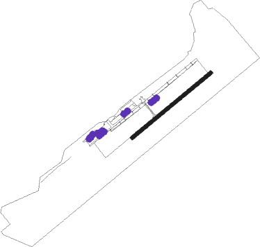
Airport details
| Country | Germany |
| State | Rhineland-Palatinate |
| Region | ED |
| Airspace | Langen Ctr |
| Municipality | Röhl |
| Elevation | 1227ft (374m) |
| Timezone | GMT +1 |
| Coordinates | 49.94533, 6.56500 |
| Magnetic var | |
| Type | land |
| Available since | X-Plane v10.40 |
| ICAO code | EDRB |
| IATA code | BBJ |
| FAA code | n/a |
Communication
| Bitburg Bitburg Info | 118.705 |
Nearby Points of Interest:
Motte Orenhofen
-Schloss Holsthum
-Wasserburg Bruch
-Schloss Föhren
-Stadtbefestigung Ehrang
-Synagoge Aach
-Villa rustica of Bollendorf
-Drachenhaus
-Exzellenzhaus
-Napoleonsbrücke
-St. Martin (Pfalzel)
-Villa Reverchon
-Jaeger barracks
-St. Dionysius (Niedersgegen)
-Schlossgut Petry
-Simeonstift of Trier
-Schloss Bouvier
-Karl-Marx-Wohnhaus
-Alter Krahnen
-Turm Jerusalem
-Zollkran
-Französisches Casino
-Bischöfliches Priesterseminar zu Trier
-Municipal Library Trier
-Roman Monuments, Cathedral of St. Peter and Church of Our Lady in Trier UNESCO World Heritage Site
Nearby beacons
| code | identifier | dist | bearing | frequency |
|---|---|---|---|---|
| SPA | SPANGDAHLEM TACAN | 5.5 | 76° | 109.50 |
| DIK | DIEKIRCH NDB | 17.5 | 259° | 307 |
| ELU | LUXEMBOURG NDB | 17.9 | 218° | 368 |
| LE | LUXEMBOURG NDB | 22 | 226° | 318 |
| LUX | LUXEMBOURG VOR/DME | 22.1 | 226° | 112.25 |
| BUE | BUECHEL TACAN | 23.9 | 65° | 117.10 |
| LW | LUXEMBOURG NDB | 25 | 230° | 404 |
| FHH | DME | 26.8 | 90° | 117.35 |
| HAN | HAHN NDB | 27.6 | 88° | 376 |
| WLU | LUXEMBOURG NDB | 30.1 | 234° | 346 |
| SLV | SPA NDB | 40.6 | 309° | 386 |
| MTZ | METZ NDB | 42.5 | 208° | 354 |
| SAD | DME | 48.9 | 143° | 116.75 |
| SPI | SPRIMONT VOR/DME | 49.7 | 301° | 113.10 |
| LNO | OLNO VOR/DME | 50.5 | 307° | 112.80 |
| SR | ENSHEIM (SAARBRUECKEN) NDB | 50.5 | 138° | 360 |
| NVO | NOERVENICH VORTAC | 52.7 | 5° | 116.20 |
| WNN | DME | 53.6 | 7° | 109.85 |
| ZWN | ZWEIBRUECKEN VOR/DME | 54.3 | 130° | 114.80 |
| ETN | ETAIN NDB | 55.2 | 231° | 410 |
| LV | COLOGNE-BONN NDB | 57.7 | 38° | 327 |
| GTQ | GROSTENQUIN VOR/DME | 57.8 | 171° | 111.25 |
| LOU | LORRAINE NDB | 58 | 197° | 388 |
| KBO | COLOGNE-BONN VOR/DME | 59.3 | 32° | 112.15 |
| LJ | COLOGNE-BONN NDB | 61.9 | 27° | 365 |
| LW | COLOGNE-BONN NDB | 62.9 | 36° | 300 |
Disclaimer
The information on this website is not for real aviation. Use this data with the X-Plane flight simulator only! Data taken with kind consent from X-Plane 12 source code and data files. Content is subject to change without notice.