Neuhausen Ob Eck
Airport details
| Country | Germany |
| State | Baden-Württemberg |
| Region | ED |
| Airspace | Langen Ctr |
| Municipality | Neuhausen ob Eck |
| Elevation | 2637ft (804m) |
| Timezone | GMT +1 |
| Coordinates | 47.97683, 8.90517 |
| Magnetic var | |
| Type | land |
| Available since | X-Plane v10.40 |
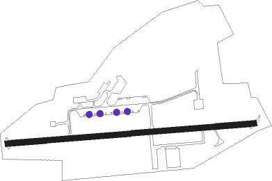
| ICAO code | EDSN |
| IATA code | n/a |
| FAA code | n/a |
Communication
| Neuhausen ob Eck Neuhausen ob Eck Info | 119.600 |
Nearby Points of Interest:
Grabenstraße 11 (Mühlheim an der Donau)
-Oberes Tor
-Rathaus (Mühlheim an der Donau)
-Sebastianskapelle (Mühlheim an der Donau)
-Buchheimer Hans
-Villa rustica of Meßkirch
-Katholisches Pfarrhaus Engen
-Felsentäle
-Burg Wartenberg (Geisingen)
-Villa rustica of Inzigkofen
-St. Peter und Paul
-Ruin Hohenbodman
-Amtsgericht Rottweil
-Amtsgericht und Landgericht Rottweil
-Städtische Turnhalle Rottweil
-house to the Hirzen
-Villa Schlenker
-Salmannsweiler Hof (Überlingen)
-Villa rustica of Laucherthal
-Jüdischer Friedhof Randegg
-Weier, neolithic shore settlement
-Denkmal für die Gefallenen des Ersten Weltkriegs
-Schloss Windegg
-Jüdischer Friedhof
-Spital (Balingen)
Nearby beacons
| code | identifier | dist | bearing | frequency |
|---|---|---|---|---|
| ZUE | ZURICH EAST VOR/DME | 23.3 | 193° | 110.05 |
| TRA | DME | 25.5 | 238° | 114.30 |
| SUL | SULZ VOR | 26.4 | 327° | 116.10 |
| FHD | DME | 30.4 | 117° | 112.60 |
| KLO | KLOTEN (ZURICH) VOR/DME | 34.4 | 215° | 114.85 |
| TGO | TANGO TACAN | 41 | 29° | 112.50 |
| SGD | DME | 44.5 | 24° | 115.45 |
| STG | STUTTGART VOR/DME | 45.4 | 26° | 116.85 |
| KBD | DME | 58.2 | 315° | 115.80 |
| LBU | LUBURG VOR/DME | 58.8 | 25° | 109.20 |
| KBA | KARLSRUHE/BADEN-BADEN NDB | 58.9 | 315° | 431 |
| WIL | WILLISAU VOR/DME | 62.7 | 231° | 116.90 |
Disclaimer
The information on this website is not for real aviation. Use this data with the X-Plane flight simulator only! Data taken with kind consent from X-Plane 12 source code and data files. Content is subject to change without notice.