Steißlingen - Radolfzell-stahringen
Airport details
| Country | Germany |
| State | Baden-Württemberg |
| Region | ED |
| Airspace | Langen Ctr |
| Municipality | Stockach |
| Elevation | 1379ft (420m) |
| Timezone | GMT +1 |
| Coordinates | 47.80278, 8.97972 |
| Magnetic var | |
| Type | land |
| Available since | X-Plane v10.40 |
| ICAO code | EDSR |
| IATA code | n/a |
| FAA code | n/a |
Communication
| Radolfzell-Stahringen Stahringen Info | 127.530 |
Nearby Points of Interest:
Schloss Windegg
-St. Peter und Paul
-Salmannsweiler Hof (Überlingen)
-Turmhof
-Kehlhof, Ermatingen
-Katholisches Pfarrhaus Engen
-Ruin Hohenbodman
-Hemishofen rhine bridge
-Ehemaliges Benediktinerpriorat Wagenhausen
-Jüdischer Friedhof Randegg
-Jüdischer Friedhof
-Villa rustica of Meßkirch
-house to the Hirzen
-Haus zum Goldenen Leuen
-Burg Unterhof
-Diessenhofen
-Weier, neolithic shore settlement
-Hospital Bellevue
-Buchheimer Hans
-Kreuzlingen Abbey
-Feuchtmayer Museum
-Grabenstraße 11 (Mühlheim an der Donau)
-Oberes Tor
-Rathaus (Mühlheim an der Donau)
-Sebastianskapelle (Mühlheim an der Donau)
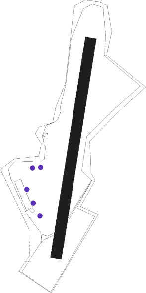
Runway info
| Runway 01 / 19 | ||
| length | 601m (1972ft) | |
| bearing | 20° / 200° | |
| width | 30m (98ft) | |
| surface | grass | |
| blast zone | 63m (207ft) / 92m (302ft) | |
Nearby beacons
| code | identifier | dist | bearing | frequency |
|---|---|---|---|---|
| ZUE | ZURICH EAST VOR/DME | 14.2 | 218° | 110.05 |
| FHD | DME | 22.7 | 104° | 112.60 |
| TRA | DME | 22.9 | 258° | 114.30 |
| KLO | KLOTEN (ZURICH) VOR/DME | 27.1 | 231° | 114.85 |
| SUL | SULZ VOR | 37.2 | 330° | 116.10 |
| LUP | LAUPHEIM NDB | 44.9 | 66° | 407 |
| TGO | TANGO TACAN | 50.2 | 19° | 112.50 |
| SGD | DME | 54 | 15° | 115.45 |
| STG | STUTTGART VOR/DME | 54.8 | 17° | 116.85 |
| WFJ | DME | 66.9 | 140° | 113.75 |
| KBD | DME | 68.6 | 318° | 115.80 |
| KBA | KARLSRUHE/BADEN-BADEN NDB | 69.3 | 318° | 431 |
Disclaimer
The information on this website is not for real aviation. Use this data with the X-Plane flight simulator only! Data taken with kind consent from X-Plane 12 source code and data files. Content is subject to change without notice.