Langeoog
Airport details
| Country | Germany |
| State | Lower Saxony |
| Region | ED |
| Airspace | Bremen Ctr |
| Municipality | Langeoog |
| Elevation | 3ft (1m) |
| Timezone | GMT +1 |
| Coordinates | 53.74313, 7.49221 |
| Magnetic var | |
| Type | land |
| Available since | X-Plane v10.40 |
| ICAO code | EDWL |
| IATA code | LGO |
| FAA code | n/a |
Communication
| Langeoog Langeoog INFO | 122.030 |
Nearby Points of Interest:
Westerbur Church (Dornum)
-Petrikirche
-Jüdischer Friedhof Esens
-St. Marienkirche
-Carolinensiel church
-Altfunnixsieler Mühle
-Christuskirche (Norden)
-St.-Ludgerus-Kirche
-Schöningh House
-Conerusspeicher
-Dree Süsters
-Andreaskirche
-Tjücher Mühle
-St. Florian
-Wasserwerk Aurich
-Friedhofswärterhaus
-Aurich railway station
-Staatshochbauamt
-Evertssches Haus
-Denkmal für die Gefallenen des Deutsch-Französischen Krieges 1870/71 (Aurich)
-Pingelhus
-Landschaftshaus
-Julianenburg
-Teehäuschen
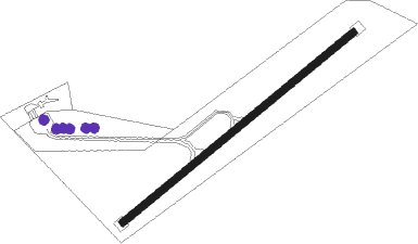
Runway info
| Runway 05 / 23 | ||
| length | 615m (2018ft) | |
| bearing | 67° / 247° | |
| width | 15m (49ft) | |
| surface | concrete | |
Nearby beacons
| code | identifier | dist | bearing | frequency |
|---|---|---|---|---|
| WTM | WITTMUNDHAFEN TACAN | 14 | 129° | 113.50 |
| DHE | HELGOLAND VOR/DME | 30.4 | 43° | 116.30 |
| EEL | EELDE (GRONINGEN) VOR/DME | 45.6 | 235° | 112.40 |
Disclaimer
The information on this website is not for real aviation. Use this data with the X-Plane flight simulator only! Data taken with kind consent from X-Plane 12 source code and data files. Content is subject to change without notice.