Seinäjoki / Ilmajoki - Seinajoki
Airport details
| Country | Finland |
| State | Western Finland |
| Region | EF |
| Airspace | Helsinki Ctr |
| Municipality | Ilmajoki |
| Elevation | 299ft (91m) |
| Timezone | GMT +2 |
| Coordinates | 62.69361, 22.83194 |
| Magnetic var | |
| Type | land |
| Available since | X-Plane v10.40 |
| ICAO code | EFSI |
| IATA code | SJY |
| FAA code | n/a |
Communication
| Seinajoki AWOS | 124.800 |
| Seinajoki AFIS | 123.600 |
| Seinajoki AFIS | 119.700 |
Approach frequencies
| ILS-cat-I | RW32 | 111.5 | 18.00mi |
| 3° GS | RW32 | 111.5 | 18.00mi |
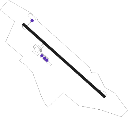
Nearby Points of Interest:
Aalto Center
-Ilmajoki Railway Station
Nearby beacons
| code | identifier | dist | bearing | frequency |
|---|---|---|---|---|
| O | OSCAR (SEINAJOKI) NDB | 0.8 | 293° | 408 |
| IJ | INDIA-JULIETT (SEINAJOKI) NDB | 1.5 | 117° | 382 |
| PSJ | SEINAJOKI NDB | 4.2 | 116° | 352 |
| ESS | ESSE (KOKKOLA-PIETARSAARI) NDB | 57.1 | 16° | 398 |
Instrument approach procedures
| runway | airway (heading) | route (dist, bearing) |
|---|---|---|
| RW14 | GUBNI (99°) | GUBNI 2500ft ULRAT (5mi, 66°) 2500ft |
| RW14 | LETBO (146°) | LETBO 2500ft ULRAT (5mi, 246°) 2500ft |
| RW14 | ULRAT (115°) | ULRAT 2500ft |
| RNAV | ULRAT 2500ft ASBOL (5mi, 115°) 1900ft EFSI (5mi, 115°) 344ft OSPAG (10mi, 116°) 2500ft | |
| RW32 | NESPU (327°) | NESPU 2500ft OSPAG (5mi, 66°) 2500ft |
| RW32 | OSPAG (296°) | OSPAG 2500ft |
| RW32 | RIRTO (279°) | RIRTO 2500ft OSPAG (5mi, 246°) 2500ft |
| RNAV | OSPAG 2500ft ELRUM (4mi, 296°) 1900ft EFSI (6mi, 296°) 339ft ULRAT (10mi, 295°) 2500ft |
Disclaimer
The information on this website is not for real aviation. Use this data with the X-Plane flight simulator only! Data taken with kind consent from X-Plane 12 source code and data files. Content is subject to change without notice.