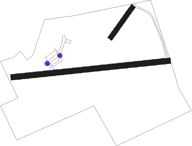
Kirkbride
Airport details
| Country | United Kingdom |
| State | England |
| Region | |
| Airspace | London Ctr |
| Municipality | Allerdale |
| Elevation | 26ft (8m) |
| Timezone | GMT +0 |
| Coordinates | 54.88421, -3.20775 |
| Magnetic var | |
| Type | land |
| Available since | X-Plane v10.40 |
| ICAO code | EG60 |
| IATA code | n/a |
| FAA code | n/a |
Communication
| Kirkbride Kirkbride Radio | 124.405 |
Nearby Points of Interest:
Drumburgh Castle
-Holmcultram Abbey
-Langrigg Hall
-Annan Bridge
-Cardew Lodge
-Cardew House
-Stapleton Tower
-Dalston Hall
-Brydekirk Bridge
-Kinmount House
-Rose Castle
-Bonshaw Tower
-Tithe Barn
-Wyseby House
-5 And 6, Greenmarket
-Market Hall
-Crown Court, Adjoining Offices And Gate Arch
-Hayton Castle
-Battle of Solway Moss
-Hoddom Bridge
-Dalton, Old Parish Church
-Isel Hall
-Scaleby Castle
-Warwick Hall
-the pheasant

Nearby beacons
| code | identifier | dist | bearing | frequency |
|---|---|---|---|---|
| DCS | CROSS DME | 10.7 | 219° | 115.20 |
| DUF | DUN FELL DME | 28.8 | 105° | 115.25 |
| GLO | LOWTHER DME | 35.3 | 314° | 109.65 |
| TLA | TALLA VOR/DME | 37.2 | 347° | 113.80 |
| WL | BARROW (WALNEY ISLAND) NDB | 45.4 | 184° | 385 |
Disclaimer
The information on this website is not for real aviation. Use this data with the X-Plane flight simulator only! Data taken with kind consent from X-Plane 12 source code and data files. Content is subject to change without notice.