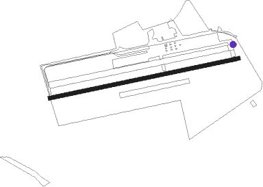
Shobdon - Shobdon Aerodrome
Airport details
| Country | United Kingdom |
| State | England |
| Region | EG |
| Airspace | London Ctr |
| Municipality | Shobdon |
| Elevation | 316ft (96m) |
| Timezone | GMT +0 |
| Coordinates | 52.24166, -2.88111 |
| Magnetic var | |
| Type | land |
| Available since | X-Plane v10.40 |
| ICAO code | EGBS |
| IATA code | n/a |
| FAA code | n/a |
Communication
Nearby Points of Interest:
Mortimer's Cross Water Mill
-Burton Court
-Wapley Hill
-St Cosmas and St Damian's Church, Stretford
-Stapleton Castle
-Gatley Park
-Weobley Castle
-Eye Manor
-Wigmore Abbey
-The Grange
-Almeley Castle
-The Hall, Brampton Bryan
-Kinnersley Castle
-Richard's Castle
-Hergest Court
-Multiple enclosure hillfort on Coxall Knoll
-Dinmore Manor
-River Lugg
-Downton Castle
-Bedstone Court
-Brinsop Court
-Ferney Hall
-Bredwardine Castle
-Moccas Court
-Oakley Park
Nearby beacons
| code | identifier | dist | bearing | frequency |
|---|---|---|---|---|
| SH | SHOBDON NDB | 0.1 | 36° | 426 |
| WPL | WELSHPOOL NDB | 25.3 | 325° | 323 |
| WBA | WOLVERHAMPTON NDB | 28 | 66° | 356 |
| WOL | DME | 28 | 66° | 108.60 |
| GST | GLOUCESTERSHIRE NDB | 33.6 | 116° | 331 |
| BCN | BRECON VOR/DME | 34 | 216° | 117.45 |
| SWB | SHAWBURY VOR/DME | 34.3 | 21° | 116.80 |
| OF | FILTON NDB | 44.6 | 158° | 325 |
| BRI | BRISTOL NDB | 52 | 169° | 414 |
| CDF | CARDIFF NDB | 53.6 | 208° | 388 |
| HAW | HAWARDEN NDB | 56.4 | 354° | 340 |
| WHI | WHITEGATE NDB | 57.4 | 15° | 368 |
Disclaimer
The information on this website is not for real aviation. Use this data with the X-Plane flight simulator only! Data taken with kind consent from X-Plane 12 source code and data files. Content is subject to change without notice.
