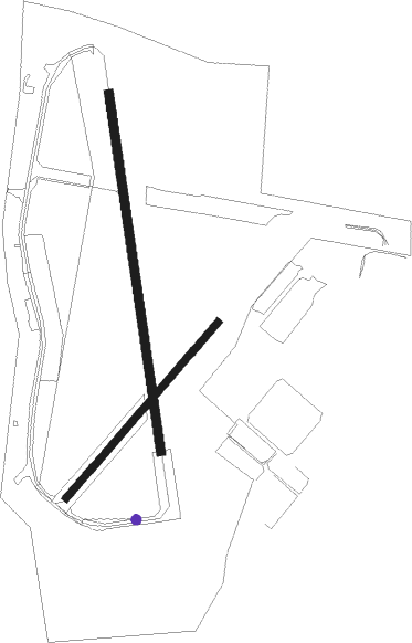
Stratford-on-avon - Wellesbourne Mountford
Airport details
| Country | United Kingdom |
| State | England |
| Region | EG |
| Airspace | London Ctr |
| Municipality | Stratford-on-Avon |
| Elevation | 159ft (48m) |
| Timezone | GMT +0 |
| Coordinates | 52.19222, -1.61444 |
| Magnetic var | |
| Type | land |
| Available since | X-Plane v10.40 |
| ICAO code | EGBW |
| IATA code | n/a |
| FAA code | n/a |
Communication
| Wellesbourne Mountford INFO | 124.025 |
Nearby Points of Interest:
Charlecote Park
-Wellesbourne Watermill
-Bridge Over River Avon
-Bath House, Warwickshire
-Moreton Hall
-Ashorne Hill Management College
-Clopton Bridge
-Town Hall
-Guildhall,king Edward Vi Grammar School
-Clopton House
-Alscot Park
-Broadclose
-Castle Bridge
-Shire Hall
-Battle of Edgehil
-Royal Pump Rooms
-Honington Hall
-Haseley Manor
-Offchurch Bury
-Lillington Library
-Compton Wynyates
-Kinwarton Dovecote
-Wroxall Abbey
-Bidford Bridge

Nearby beacons
| code | identifier | dist | bearing | frequency |
|---|---|---|---|---|
| HON | HONILEY VOR/DME | 10 | 343° | 113.65 |
| BHX | BIRMINGHAM NDB | 16.5 | 332° | 406 |
| DTY | DAVENTRY VOR/DME | 18.4 | 91° | 116.40 |
| OX | OXFORD NDB | 24 | 141° | 367 |
| BZ | BRIZE NORTON NDB | 26.5 | 178° | 386 |
| BZN | BRIZE NORTON TACAN | 26.6 | 179° | 111.90 |
| GST | GLOUCESTERSHIRE NDB | 27.2 | 242° | 331 |
| WBA | WOLVERHAMPTON NDB | 30.6 | 297° | 356 |
| WOL | DME | 30.6 | 297° | 108.60 |
| FFA | FAIRFORD TACAN | 31.4 | 200° | 113.40 |
| WCO | WESTCOTT NDB | 31.5 | 117° | 335 |
| LE | LEICESTER NDB | 32.7 | 54° | 383 |
| TNL | TATENHILL NDB | 37.8 | 346° | 327 |
| EMW | EAST MIDLANDS NDB | 38.6 | 14° | 393 |
| BSO | BENSON TACAN | 39.5 | 138° | 110 |
| HEN | HENTON NDB | 40 | 118° | 433 |
| EME | EAST MIDLANDS NDB | 41.4 | 33° | 353 |
| CPT | COMPTON VOR/DME | 44.5 | 151° | 114.35 |
| TNT | TRENT VOR/DME | 51.7 | 356° | 115.70 |
| WOD | WOODLEY NDB | 52.1 | 135° | 352 |
| BUR | BURNHAM NDB | 53.3 | 126° | 421 |
| OF | FILTON NDB | 54.2 | 236° | 325 |
| BLC | DME | 59.5 | 138° | 116.20 |
| BLK | BLACKBUSHE NDB | 59.5 | 138° | 328 |
| ODH | ODIHAM TACAN | 62.7 | 145° | 109.60 |
Disclaimer
The information on this website is not for real aviation. Use this data with the X-Plane flight simulator only! Data taken with kind consent from X-Plane 12 source code and data files. Content is subject to change without notice.