Coll Island - Coll
Airport details
| Country | United Kingdom |
| State | Scotland |
| Region | EG |
| Airspace | Scottish Ctr |
| Municipality | Argyll and Bute |
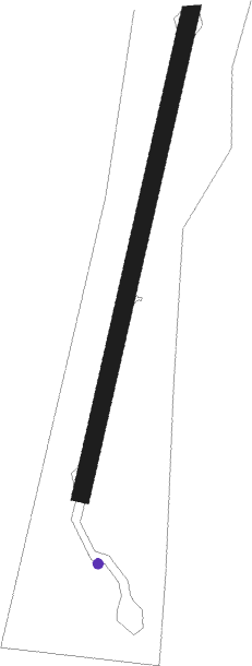
| Elevation | 20ft (6m) |
| Timezone | GMT +0 |
| Coordinates | 56.60194, -6.61778 |
| Magnetic var | |
| Type | land |
| Available since | X-Plane v10.40 |
| ICAO code | EGEL |
| IATA code | COL |
| FAA code | n/a |
Communication
| Coll Coll Radio | 125.005 |
Nearby Points of Interest:
Dun Mor a' Chaolais, broch and cup-marked rock, Millton, Tiree
-Calgary House
-Hynish Harbour, Tiree
-Kilninian Church
-Maol Mor standing stones, Dervaig, Mull
Nearby beacons
| code | identifier | dist | bearing | frequency |
|---|---|---|---|---|
| TIR | TIREE VOR/DME | 10.7 | 247° | 117.70 |
| BRR | BARRA NDB | 37.3 | 297° | 316 |
| ISY | DME-ILS | 56.5 | 158° | 109.95 |
| LAY | ISLAY NDB | 56.5 | 158° | 395 |
| BBA | BENBECULA NDB | 57.9 | 319° | 401 |
| BCL | DME-ILS | 57.9 | 319° | 108.10 |
| BEN | BENBECULA VOR/DME | 58 | 320° | 113.95 |
Disclaimer
The information on this website is not for real aviation. Use this data with the X-Plane flight simulator only! Data taken with kind consent from X-Plane 12 source code and data files. Content is subject to change without notice.