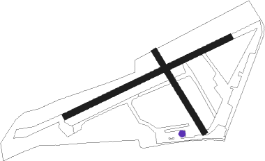
Burrington - Eaglescott
Airport details
| Country | United Kingdom |
| State | England |
| Region | EG |
| Airspace | London Ctr |
| Municipality | North Devon |
| Elevation | 653ft (199m) |
| Timezone | GMT +0 |
| Coordinates | 50.92671, -3.98787 |
| Magnetic var | |
| Type | land |
| Available since | X-Plane v10.40 |
| ICAO code | EGHU |
| IATA code | n/a |
| FAA code | n/a |
Communication
| Eaglescott Eaglescott Radio | 123.000 |
Nearby Points of Interest:
Heanton Satchville
-Potheridge
-Hudscott
-Palmer House
-Guild Hall
-Weare Giffard Hall
-Affeton Castle
-Annery kiln
-Bremridge
-Acland, Landkey
-Penrose Almhouses
-Barnstaple Long Bridge
-Queen Anne's Walk
-The Guildhall
-Barnstaple Town railway station
-Barnstaple Castle
-Bideford Long Bridge
-Bideford Town Hall and Library
-Orleigh Court
-North Wyke
-Whitechapel, Bishops Nympton
-Pilton House, Pilton
-Moreton House
-Youlston Park
-Portledge Manor

Nearby beacons
| code | identifier | dist | bearing | frequency |
|---|---|---|---|---|
| EX | EXETER NDB | 28.2 | 104° | 337 |
| BHD | BERRY HEAD VOR/DME | 36.8 | 137° | 112.05 |
| CDF | CARDIFF NDB | 37.2 | 54° | 388 |
| BCN | BRECON VOR/DME | 55.1 | 42° | 117.45 |
| HAV | HAVERFORDWEST NDB | 65.6 | 313° | 328 |
| HDW | DME | 65.6 | 313° | 116.75 |
Disclaimer
The information on this website is not for real aviation. Use this data with the X-Plane flight simulator only! Data taken with kind consent from X-Plane 12 source code and data files. Content is subject to change without notice.