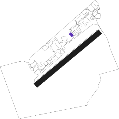
Old Sarum
Airport details
| Country | United Kingdom |
| State | England |
| Region | EG |
| Airspace | London Ctr |
| Municipality | Wiltshire |
| Elevation | 285ft (87m) |
| Timezone | GMT +0 |
| Coordinates | 51.09889, -1.78417 |
| Magnetic var | |
| Type | land |
| Available since | X-Plane v10.40 |
| ICAO code | EGLS |
| IATA code | n/a |
| FAA code | n/a |
Communication
| Old Sarum Old Sarum Radio | 123.200 |
Nearby Points of Interest:
Little Durnford Manor
-Frowds Almshouses
-Salisbury War Memorial And Railings
-The Guildhall
-Poultry Cross
-General Infirmary
-The Old George Inn
-North Gate
-College of Matrons
-Hemingsby House
-Wren Hall
-Braybrooke House
-The King's House
-Bemerton Rectory
-Lake House
-All Saints Church, Idmiston
-Amesbury Abbey
-North Wessex Downs
-Stonehenge, Avebury and Associated Sites
-Stonehenge Cursus
-Trafalgar Park, Wiltshire
-Grovely Castle
-Wilbury House
-St Andrew's Church, Rollestone
-Whitsbury Castle
Nearby beacons
| code | identifier | dist | bearing | frequency |
|---|---|---|---|---|
| BDN | BOSCOMBE DOWN TACAN | 3.2 | 32° | 108.20 |
| EAS | SOUTHAMPTON (EASTLEIGH) NDB | 18.3 | 109° | 391 |
| SAM | SOUTHAMPTON VOR/DME | 18.6 | 108° | 113.35 |
| BIA | BOURNEMOUTH NDB | 19.4 | 190° | 339 |
| CPT | COMPTON VOR/DME | 31.7 | 55° | 114.35 |
| ODH | ODIHAM TACAN | 32.4 | 81° | 109.60 |
| VLN | YEOVILTON TACAN | 32.7 | 264° | 111 |
| YVL | DME | 34.2 | 260° | 109.05 |
| YVL | YEOVIL NDB | 34.5 | 260° | 343 |
| FFA | FAIRFORD TACAN | 35 | 359° | 113.40 |
| BLC | DME | 37.8 | 77° | 116.20 |
| BLK | BLACKBUSHE NDB | 37.8 | 77° | 328 |
| BRI | BRISTOL NDB | 38.9 | 287° | 414 |
| BZN | BRIZE NORTON TACAN | 39.5 | 16° | 111.90 |
| OF | FILTON NDB | 39.5 | 298° | 325 |
| BZ | BRIZE NORTON NDB | 39.6 | 16° | 386 |
| WOD | WOODLEY NDB | 40.1 | 69° | 352 |
| BSO | BENSON TACAN | 40.2 | 53° | 110 |
| OX | OXFORD NDB | 47.3 | 32° | 367 |
| GST | GLOUCESTERSHIRE NDB | 49.7 | 334° | 331 |
| HEN | HENTON NDB | 54.4 | 56° | 433 |
| WCO | WESTCOTT NDB | 54.7 | 47° | 335 |
Disclaimer
The information on this website is not for real aviation. Use this data with the X-Plane flight simulator only! Data taken with kind consent from X-Plane 12 source code and data files. Content is subject to change without notice.