Seething
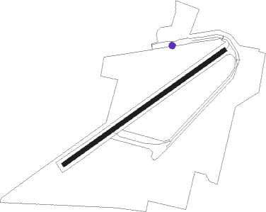
Airport details
| Country | United Kingdom |
| State | England |
| Region | EG |
| Airspace | London Ctr |
| Municipality | South Norfolk |
| Elevation | 128ft (39m) |
| Timezone | GMT +0 |
| Coordinates | 52.51117, 1.41717 |
| Magnetic var | |
| Type | land |
| Available since | X-Plane v10.40 |
| ICAO code | EGSJ |
| IATA code | n/a |
| FAA code | n/a |
Communication
| Seething Seething Radio | 122.600 |
Nearby Points of Interest:
Ditchingham Hall
-Hales Hall
-Langley Hall
-Earsham Hall
-Butter Cross
-Flixton Road Mill
-Raveningham Hall
-Claxton Castle
-Langley Abbey
-Gillingham Hall
-Bixley medieval settlement
-Roos Hall
-Town Hall
-Beccles bell tower
-Rainthorpe Hall
-Brundall signal box
-Manor Farm
-Starston Windpump
-The Ferry Boat Inn
-Surrey House
-Anglia House
-Shire House
-OPEN Norwich
-the assembly house
-City Hall, Norwich
Nearby beacons
| code | identifier | dist | bearing | frequency |
|---|---|---|---|---|
| NWI | NORWICH NDB | 10.9 | 323° | 342 |
| WTZ | WATTISHAM TACAN | 29.2 | 231° | 109.30 |
| MAM | MARHAM TACAN | 32.2 | 279° | 108.70 |
| LKH | LAKENHEATH TACAN | 32.4 | 263° | 110.20 |
| MLD | MILDENHALL TACAN | 35.1 | 261° | 115.90 |
| CLN | CLACTON VOR/DME | 41 | 202° | 114.55 |
| SND | SOUTHEND NDB | 62 | 217° | 362 |
| WIT | WITTERING TACAN | 70.1 | 273° | 117.60 |
Disclaimer
The information on this website is not for real aviation. Use this data with the X-Plane flight simulator only! Data taken with kind consent from X-Plane 12 source code and data files. Content is subject to change without notice.