Leeming - Raf Leeming
Airport details
| Country | United Kingdom |
| State | England |
| Region | EG |
| Airspace | London Ctr |
| Municipality | Hambleton |
| Elevation | 130ft (40m) |
| Timezone | GMT +0 |
| Coordinates | 54.29253, -1.53539 |
| Magnetic var | |
| Type | land |
| Available since | X-Plane v10.40 |
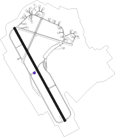
| ICAO code | EGXE |
| IATA code | n/a |
| FAA code | n/a |
Communication
| RAF Leeming Leeming Tower | 120.500 |
| RAF Leeming Leeming Approach | 122.300 |
| RAF Leeming Leeming Zone | 133.375 |
Approach frequencies
| ILS-cat-I | RW16 | 110.3 | 18.00mi |
| 3° GS | RW16 | 110.3 | 18.00mi |
Nearby Points of Interest:
Bedale Hall
-Otterington Hall
-County Hall
-Hornby Castle
-Battle of the Standard
-St Lawrence's Church
-Norton Conyers House
-Constable Burton Hall
-Hauxwell Hall
-Cowton railway station
-Moulton Hall
-Braithwaite Hall
-Sockburn Hall
-Aske Hall
-Middleton Lodge
-Holy Trinity Church, Coverham
-Grantley Hall
-Fountains Hall
-Gormire Lake
-The Old Hall
-Newby Hall
-Equestrian statue of Charles II of England trampling Cromwell
-Bolton Hall
-Ellerton Abbey
-Ravensworth Castle
Nearby beacons
| code | identifier | dist | bearing | frequency |
|---|---|---|---|---|
| LEE | LEEMING TACAN | 0.2 | 342° | 112.60 |
| TD | TEESSIDE INTL NDB | 17.5 | 37° | 347 |
| LBA | LEEDS BRADFORD NDB | 26 | 195° | 402 |
| SBL | SHERBURN-IN-ELMET NDB | 32.3 | 147° | 323 |
| POL | POLE HILL VOR/DME | 38.5 | 226° | 112.10 |
| DUF | DUN FELL DME | 39.6 | 293° | 115.25 |
| NEW | DME | 45.1 | 348° | 114.25 |
| NT | NEWCASTLE NDB | 45.6 | 352° | 352 |
| FNY | DONCASTER SHEFFIELD NDB | 52.6 | 147° | 338 |
| MCT | MANCHESTER VOR/DME | 61.8 | 218° | 113.55 |
Departure and arrival routes
| Transition altitude | 3000ft |
| Transition level | 3000ft |
| SID end points | distance | outbound heading | |
|---|---|---|---|
| RW16 | |||
| EAST16 | 15mi | 64° | |
| RW34 | |||
| EAST34 | 15mi | 64° | |
| NORT34 | 19mi | 355° | |
Disclaimer
The information on this website is not for real aviation. Use this data with the X-Plane flight simulator only! Data taken with kind consent from X-Plane 12 source code and data files. Content is subject to change without notice.