Aeroe
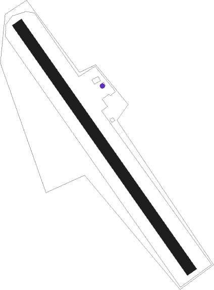
Airport details
| Country | Denmark |
| State | Region of Southern Denmark |
| Region | EK |
| Airspace | Copenhagen Ctr |
| Municipality | Ærø Municipality |
| Elevation | 0ft (0m) |
| Timezone | GMT +1 |
| Coordinates | 54.85260, 10.45640 |
| Magnetic var | |
| Type | land |
| Available since | X-Plane v10.30 |
| ICAO code | EKAE |
| IATA code | n/a |
| FAA code | n/a |
Communication
| Aeroe Aeroe Radio | 123.175 |
| Aeroe Copenhagen Information | 127.075 |
Nearby Points of Interest:
Priors Hus
-Kædeby-dyssen
-Magleby Nor Runddysse
-Nordenbro Langdysse
-Søndenbro langdysse
-Broløkke
-Hjortholm
-Vindeby Langdysse
-Klavsebølle Snedkergård
-Hvidkilde Castle
-Flintholm
-Schleimünde
-Egeløkke
-Lille Selle
-Gudbjerglund
-Slotspræstegården
-Steensgård
-Battle of Fehmarn
-Glorup Manor
Nearby beacons
| code | identifier | dist | bearing | frequency |
|---|---|---|---|---|
| ALS | ALSIE VOR | 16.3 | 277° | 114.70 |
| KHD | (HOLTENAU) DME-ILS | 30.4 | 213° | 109.50 |
| KIL | KIEL-HOLTENAU NDB | 30.8 | 215° | 353 |
| FE | ODENSE NDB | 40 | 1° | 423 |
| SWG | SCHLESWIG TACAN | 40.1 | 248° | 111.80 |
| HN | HOHN NDB | 41.7 | 236° | 344 |
| ODN | ODIN VOR/DME | 44.2 | 15° | 115.50 |
| HNT | HOHN TACAN | 45.5 | 239° | 115.30 |
| TNO | TRANO VOR/DME | 64.7 | 47° | 117.40 |
Disclaimer
The information on this website is not for real aviation. Use this data with the X-Plane flight simulator only! Data taken with kind consent from X-Plane 12 source code and data files. Content is subject to change without notice.