Viborg
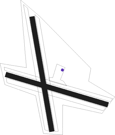
Airport details
| Country | Denmark |
| State | Central Denmark Region |
| Region | EK |
| Airspace | Copenhagen Ctr |
| Municipality | Viborg Municipality |
| Elevation | 82ft (25m) |
| Timezone | GMT +1 |
| Coordinates | 56.40995, 9.40939 |
| Magnetic var | |
| Type | land |
| Available since | X-Plane v10.40 |
| ICAO code | EKVB |
| IATA code | n/a |
| FAA code | n/a |
Communication
| Viborg Viborg Radio | 123.500 |
| Viborg Kaarup APR | 120.425 |
Nearby Points of Interest:
Asmild Runestone
-Domprovstegården
-Generalkommandoen
-Skolestræde 2
-Remisen
-Skolestræde 1
-Hald Manor
-Bispegården
-Den lille gård på Torvet
-Latinskolen
-Stillings Gård
-Svaneapoteket
-Salomon Gerbers Gård
-Friedenreichs Gård
-Morvilles Gård
-Sankt Mogensgade 7
-Villadsens Gård
-Sankt Mogensgade 11
-Gamle Vagt
-Det Zahrtmannske Hus
-Hans Werrings Gård
-Konrektors Gård
-Ursins Gård
-Karnapgården
-Den gamle gildesgård

Nearby beacons
| code | identifier | dist | bearing | frequency |
|---|---|---|---|---|
| KAR | KARUP TACAN | 14.9 | 254° | 110 |
| VJ | STAUNING NDB | 41.5 | 247° | 328 |
| AAL | AALBORG VORTAC | 45.9 | 40° | 116.70 |
| EJ | ESBJERG NDB | 57.3 | 219° | 400 |
| KD | KOLDING NDB | 58.1 | 184° | 357 |
| VAM | DME | 58.4 | 184° | 110.05 |
| ESE | DME | 60.4 | 224° | 116.60 |
| HP | ESBJERG NDB | 63.5 | 228° | 376 |
Disclaimer
The information on this website is not for real aviation. Use this data with the X-Plane flight simulator only! Data taken with kind consent from X-Plane 12 source code and data files. Content is subject to change without notice.