Frøya - Froya Flatval
Airport details
| Country | Norway |
| State | Sør-Trøndelag |
| Region | EN |
| Airspace | Polaris Ctr |
| Municipality | Frøya |
| Elevation | 149ft (45m) |
| Timezone | GMT +1 |
| Coordinates | 63.70055, 8.76056 |
| Magnetic var | |
| Type | land |
| Available since | X-Plane v10.40 |
| ICAO code | ENFA |
| IATA code | n/a |
| FAA code | n/a |
Communication
Nearby Points of Interest:
Sletringen Lighthouse
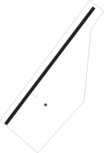
Runway info
| Runway 04 / 22 | ||
| length | 801m (2628ft) | |
| bearing | 63° / 243° | |
| width | 18m (59ft) | |
| surface | asphalt | |
Nearby beacons
| code | identifier | dist | bearing | frequency |
|---|---|---|---|---|
| TAR | TARVA NDB | 19.1 | 79° | 349 |
| UTH | UTHAUG NDB | 21.7 | 88° | 366 |
| ORL | ORLAND TACAN | 23 | 91° | 111.40 |
| KVB | KVERNBERGET (KRISTIANSUND VOR/DME | 43.3 | 238° | 113.80 |
Disclaimer
The information on this website is not for real aviation. Use this data with the X-Plane flight simulator only! Data taken with kind consent from X-Plane 12 source code and data files. Content is subject to change without notice.