Hamar
Airport details
| Country | Norway |
| State | Hedmark |
| Region | EN |
| Airspace | Polaris Ctr |
| Municipality | Hamar |
| Elevation | 728ft (222m) |
| Timezone | GMT +1 |
| Coordinates | 60.81805, 11.06806 |
| Magnetic var | |
| Type | land |
| Available since | X-Plane v10.40 |
| ICAO code | ENHA |
| IATA code | HMR |
| FAA code | n/a |
Communication
| Hamar Hamar ATC | 130.275 |
Nearby Points of Interest:
Hamar Airport
-Sagatun Folk High School
-Åker farm
-Åkervika
-Billerud
-Kapp Melkefabrikk
-Kraby
-Rogneby
-Skibladner
-Ringsaker parsonage
-Rokoberget kirkeruin
-Glåmbrua
-Elverum prestegård
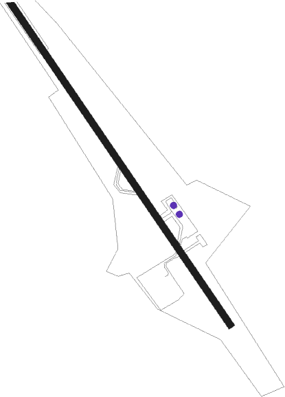
Runway info
| Runway 15 / 33 | ||
| length | 935m (3068ft) | |
| bearing | 130° / 310° | |
| width | 15m (49ft) | |
| surface | asphalt | |
| displ threshold | 118m (387ft) / 24m (79ft) | |
Nearby beacons
| code | identifier | dist | bearing | frequency |
|---|---|---|---|---|
| HAA | HAMAR NDB | 0 | 106° | 371 |
| NLK | DME | 20.7 | 194° | 115.60 |
| MES | MESNALI VOR/DME | 20.9 | 304° | 114.40 |
| BLA | DME | 21.7 | 104° | 115.20 |
| ERB | DME | 35.1 | 138° | 116.25 |
| GRM | GARDERMOEN VOR/DME | 37.6 | 179° | 115.95 |
Disclaimer
The information on this website is not for real aviation. Use this data with the X-Plane flight simulator only! Data taken with kind consent from X-Plane 12 source code and data files. Content is subject to change without notice.